What is recorded here
Located in a slight E-W dip or fold between a rise to the N and the ridge of Knowth c. 200m to the S, and it is c. 75m NE of the burial ground (ME019-028----). This is a circular grass-covered area (diam. 27m) defined by a fosse. It is overlain by the E bank of enclosure (ME019-075----).
See attached image of monument taken from Google Earth.
The above description is derived from the published 'Archaeological Inventory of County Meath' (Dublin: Stationery Office, 1987). In certain instances the entries have been revised and updated in the light of recent research.
Date of revision: 10 July 2007
Amended: 8 June 2021
The monument record does not grant public access. Check the route and ask the landowner before entering private land.
- What survives
- Recorded monument
Places near here
 Enclosure in KnowthEnclosure · 251 yd
 Not indicaetdPassage tomb · 591 yd
 Knowth Timber CircleHeritage attraction · 629 yd
 KnowthArchaeological place · 655 yd
 Knowth Fox CovertWood · 1066 yd
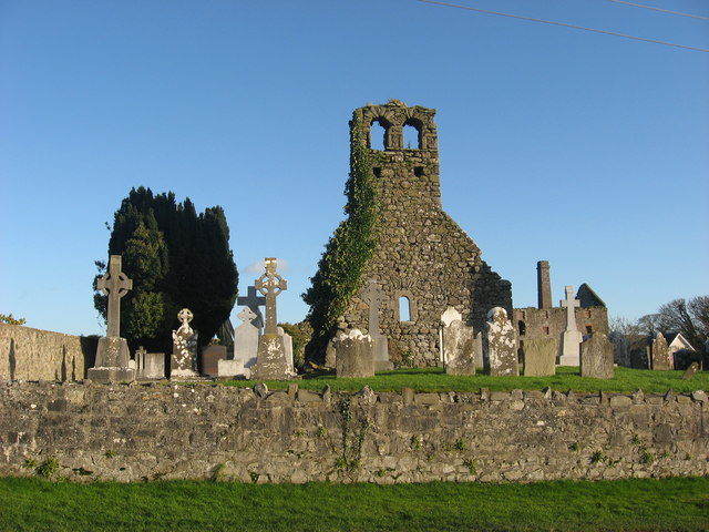 Church (in Ruins)Church · 1.0 mi
 mill (water)mill (water) · 1.1 mi
 Dowth CastleCastle, tower house · 1.6 mi
 Brú na Bóinne Visitors CentreVisitor information · 1.8 mi
 Little WoodForest · 2.2 mi
 Fennor CastleCastle · 2.2 mi
 RiverviewMemorial · 2.2 mi