
What is recorded here
Located in a slight E-W dip or fold between a rise to the N and the ridge of Knowth c. 200m to the S, and just W of the burial ground (ME019-028----). This is a large D-shaped and grass-covered area (dims 50m N-S; c. 38m E-W) defined by an earthen bank (Wth c. 5-6m) that partially underlies a NNW-SSE field bank added since 1836 (OSI 6-inch map).
See attached aerial photographs taken from Google Earth 2013 and 2005.
Compiled by: Michael Moore
Date of upload; 8 June 2021
A local fairy fort (ringfort/rath); wider significance not recorded.
The monument record does not grant public access. Check the route and ask the landowner before entering private land.
- What survives
- Recorded monument
Places near here
 Not indicaetdPassage tomb · 375 yd
 Knowth Timber CircleHeritage attraction · 426 yd
 MoatPassage tomb · 437 yd
 KnowthArchaeological place · 438 yd
 Knowth Fox CovertWood · 843 yd
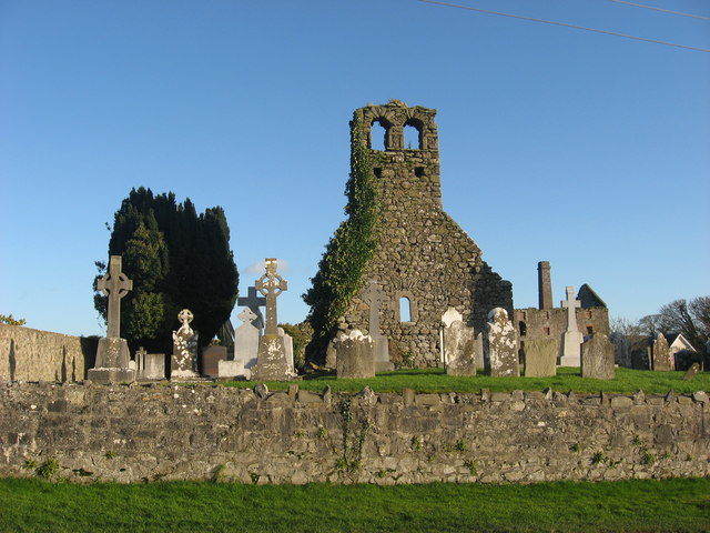 Church (in Ruins)Church · 1.2 mi
 Mill Housemill (water) · 1.2 mi
 Dowth CastleCastle, tower house · 1.7 mi
 Brú na Bóinne Visitors CentreVisitor information · 1.8 mi
 Fennor CastleCastle · 2.1 mi
 Little WoodForest · 2.1 mi
 RiverviewMemorial · 2.1 mi
Other information
Photo: Credit not shown in the picture search · Rights wording not checked; contact us if this picture should be removed