What is recorded here
Knockacappul holds a twenty-metre circular ditch that emerged only when aerial cameras swept County Cork in 1989. It lies two hundred metres southwest of a possible ringfort, suggesting a small domestic cluster rather than a lonely marker. The ditch may have bordered a humble dwelling where people tended animals or stored grain before the land reclaimed the wood and stone. Its sudden visibility reminds us that ordinary fields still hide rooms of forgotten life.
Cropmark of fosse of circular enclosure (diam. c. 20m) visible in aerial photograph (CASAP, July 1989). Possible ringfort (CO026-168---) c. 200m to NE.
The above description is derived from the published 'Archaeological Inventory of County Cork. Volume 4: North Cork' (Dublin: Stationery Office, 2000). In certain instances the entries have been revised and updated in the light of recent research.
Date of upload/revision: 14 January 2009
The monument record does not grant public access. Check the route and ask the landowner before entering private land.
- What survives
- Recorded monument
Places near here
 Field system in BallyhimockField system · 807 yd
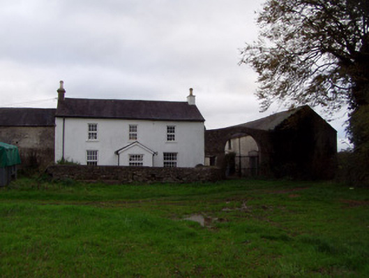 Home Farmfarmyard complex · 881 yd
 Enclosure in BallyhimockEnclosure · 911 yd
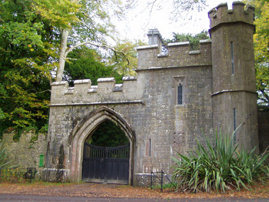 Anne's Grovegate lodge · 931 yd
 Anne's Grove GardensHeritage attraction · 1663 yd
 Shanballymore Castle (Site of)Castle, unclassified · 1.0 mi
 IndicatedCastle, tower house · 1.2 mi
 Horse Field WoodForest · 3.4 mi
 North Meadow WoodForest · 3.6 mi
 Flat cemetery in Ballyenahan NorthFlat cemetery · 4.2 mi
 Smith's WellSpring · 4.7 mi
 Blackwater (Avondhu) WayWalking route · 4.8 mi