What is recorded here
In grassland, immediately S of a woodland plantation with Kinneagh House 300m to WNW. Cropmark of ring-ditch (diam. c. 7m) visible on Google Earth orthoimages taken 28/06/2018 and 04/05/2019.
See attached Google Earth orthoimages
Compiled by: Caimin O’Brien based on details provided by Seán Sourke
Date of upload: 12 April 2021
The monument record does not grant public access. Check the route and ask the landowner before entering private land.
- What survives
- Recorded monument
Places near here
 Enclosure in KineaghEnclosure · 685 yd
 Rosetown RathFairy fort / earthen ringfort · 1104 yd
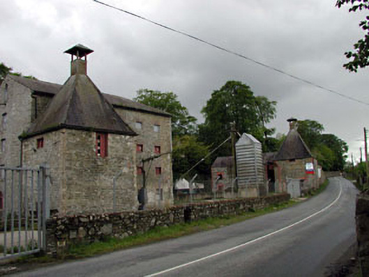 malt housemalt house · 1132 yd
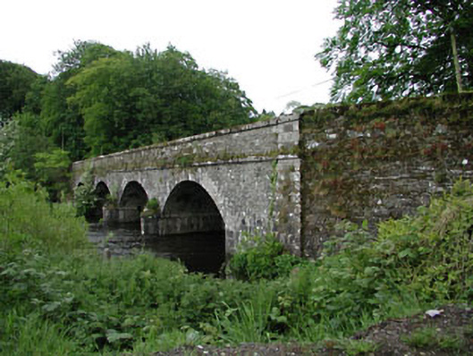 Athgarvan Bridgebridge · 1142 yd
 IndicatedCastle, unclassified · 1216 yd
 1798 memorial stoneMonument · 1.4 mi
 ElderElder · 1.8 mi
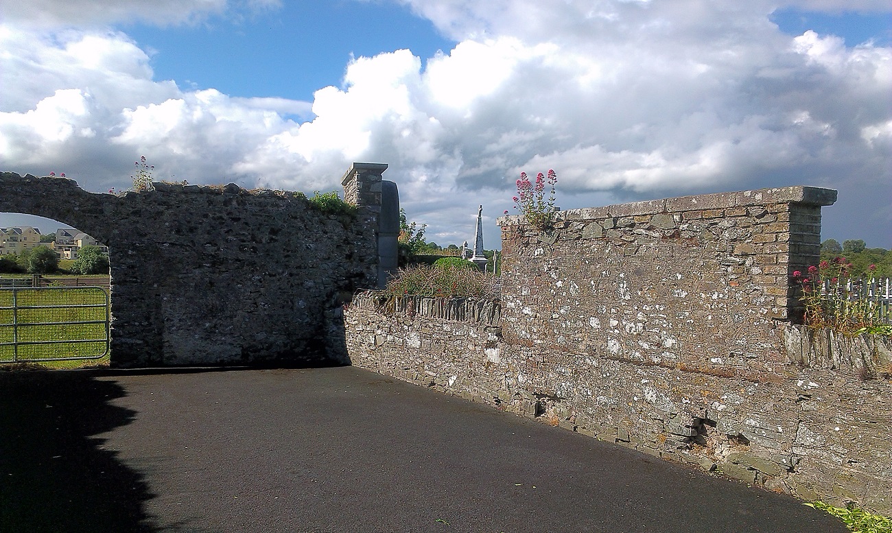 New Abbey WoodsWood · 2.0 mi
 Newbridge SilverwareMuseum · 2.4 mi
 CastleCastle, unclassified · 2.5 mi
 Grand Canal WayVisitor information · 8.8 mi
 Councillor Jim MileyMemorial · 9.7 mi