What is recorded here
Kilriffin holds a hidden ring on the summit of Drumran Hill, where a small circular enclosure still marks the heart of a larger lost fort. Ploughs have shaved most of the earthworks flat, yet the north-western and western edges may still break the soil. The field hides more than it reveals, waiting for rain or patience to draw its shape again.
Aerial photograph (GB92.FD.37) shows cropmark of circular enclosure, probably a hillfort, defined by a bank and an external ditch (ME006-062001-). A small circular enclosure is located at the centre of the enclosure, possibly a ring-ditch or house site. Located on the summit of Drumran Hill. It is mainly plough-levelled, but low-level earthworks may survive in the north-western segment of the enclosure and in the western segment.
Compiled by: Geraldine Stout
Date of upload: 23 February 2010
The monument record does not grant public access. Check the route and ask the landowner before entering private land.
- What survives
- Recorded monument
Places near here
 Drumran HillMountain / peak · 2 yd
 Hillfort in Kilriffin,sallybrookHillfort · 29 yd
 MoatCastle, motte and bailey · 1009 yd
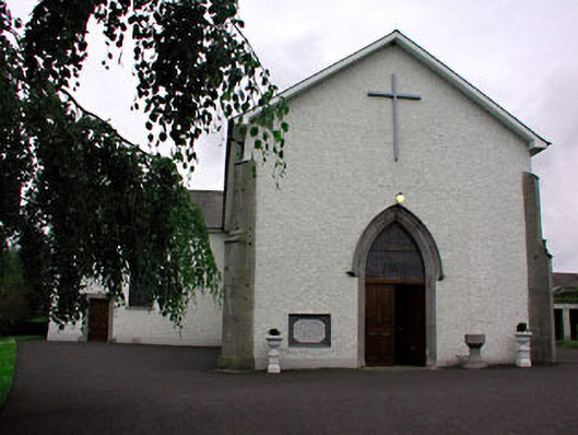 Catholic Church of Saint Peter and Saint Paulchurch/chapel · 1272 yd
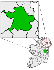 Font (present location) in RathtrasnaFont (present location) · 1285 yd
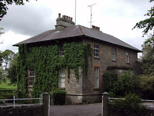 The Gleberectory/glebe/vicarage/curate's house · 1478 yd
 Loughbrackan FortCastle, motte and bailey · 1.0 mi
 Matthew's HillMountain / peak · 2.1 mi
 Nobber GreenwayMemorial · 3.6 mi
 Tree IslandWood · 3.9 mi
 Common LimeCommon Lime · 4.3 mi
 Flat cemetery in AnnaheanFlat cemetery · 5.0 mi