What is recorded here
Aerial photograph (GB92.FD.37) shows cropmark of circular enclosure, probably a hillfort, defined by a bank and an external ditch (ME006-062001-). A small circular enclosure is located at the centre of the enclosure, possibly a ring-ditch or house site. Located on the summit of Drumran Hill. It is mainly plough-levelled, but low-level earthworks may survive in the north-western segment of the enclosure and in the western segment.
Compiled by: Geraldine Stout
Date of upload: 23 February 2010
The monument record does not grant public access. Check the route and ask the landowner before entering private land.
- What survives
- Recorded monument
Places near here
 Drumran HillMountain / peak · 2 yd
 Hillfort in Kilriffin,sallybrookHillfort · 29 yd
 MoatCastle, motte and bailey · 1009 yd
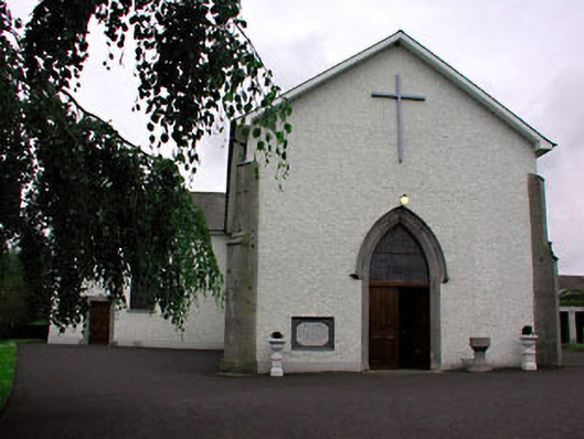 Catholic Church of Saint Peter and Saint Paulchurch/chapel · 1272 yd
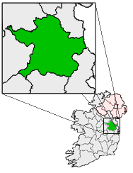 Font (present location) in RathtrasnaFont (present location) · 1285 yd
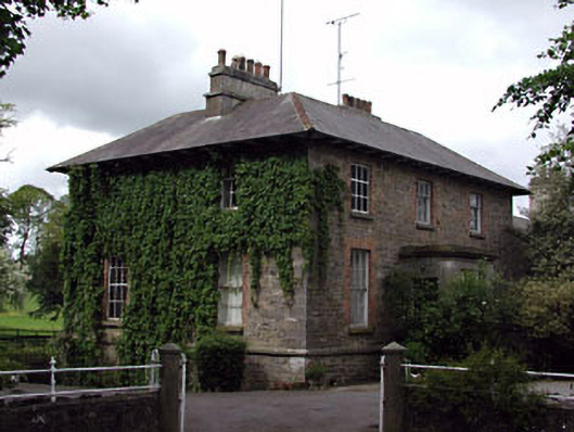 The Gleberectory/glebe/vicarage/curate's house · 1478 yd
 Loughbrackan FortCastle, motte and bailey · 1.0 mi
 Matthew's HillMountain / peak · 2.1 mi
 Nobber GreenwayMemorial · 3.6 mi
 Tree IslandWood · 3.9 mi
 Common LimeCommon Lime · 4.3 mi
 Flat cemetery in AnnaheanFlat cemetery · 5.0 mi