What is recorded here
Situated on level ground overlooking the sea. A small circular area (diam. c. 12m) defined by a fosse visible as a cropmark on aerial photograph (CUCAP, BDJ 80); possibly a ploughed-out ring-barrow. Not visible at ground level. Part of a large complex of ring-ditches (WI031-012001- to WI031-012007- and WI031-046----) of which the nearest (WI031-012003-) lies c. 60m to the NW.
The above description is derived from the published 'Archaeological Inventory of County Wicklow' (Dublin: Stationery Office, 1997). In certain instances the entries have been revised and updated in the light of recent research.
Date of upload/revision: 17 December 2008
The monument record does not grant public access. Check the route and ask the landowner before entering private land.
- What survives
- Recorded monument
Places near here
 Enclosure in Kilpoole UpperEnclosure · 304 yd
 Promontory fortPromontory fort, coastal · 404 yd
 Kilpoole BeachBeach / strand · 472 yd
 Magheramore BeachBeach / strand · 1217 yd
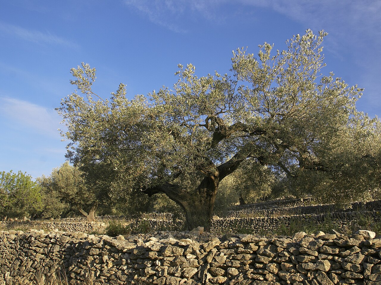 Olive treeOlive tree · 1252 yd
 Church (in Ruins), G. Yd.Church · 1.5 mi
 Wicklow Head LighthouseLighthouse · 1.9 mi
 Glen Beach Cliff WalkWalking route · 2.0 mi
 Black Castle (in ruin)Castle, Anglo-Norman masonry castle · 2.8 mi
 Round MountCastle, motte · 3.2 mi
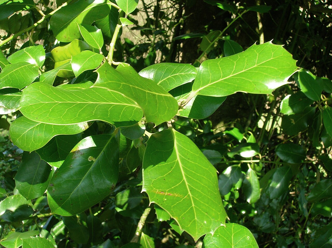 Highclere hollyHighclere holly · 3.2 mi
 Carrick MountainMountain / peak · 6.8 mi