
What is recorded here
Situated on an E-facing slope overlooking a stream. A nave (int. dims. 13.3m x 6.6m) and chancel (int. dims. c. 6.6m x 4.8m) church of uncoursed rubble (T 0.8m) surviving to a H of 0.8-1m with a possible doorway at the W end of the S wall. The site is associated with St Baothin and is called Inishboheen; it is probably the site of an Early Christian church. Records suggest that the chancel was added to the earlier nave in the late 1620s (Ronan 1928, 147-8); there is a slight suggestion of the continuation of the nave walls to the E beyond the junction with the chancel. To the W of the church is a rectangular stone block (present H 0.51m; Wth 0.31m; T 0.21m). The only uncut face has the inscription 'RCAC 1690' while the letter 'B' is deeply inscribed on the top. The church is in the NE corner of a subtriangular graveyard (dims. 75m N-S x 50m at N tapering to the S) defined by a modern stone wall. There are several 18th and 19th-century headstones at this site. The church may be the only remains of the medieval borough of Ennisboyne (WI031-020----).
The above description is derived from the published 'Archaeological Inventory of County Wicklow' (Dublin: Stationery Office, 1997). In certain instances the entries have been revised and updated in the light of recent research.
Date of upload/revision: 17 December 2008
The monument record does not grant public access. Check the route and ask the landowner before entering private land.
- What survives
- Recorded monument
Places near here
 Furzeditch BeachBeach / strand · 967 yd
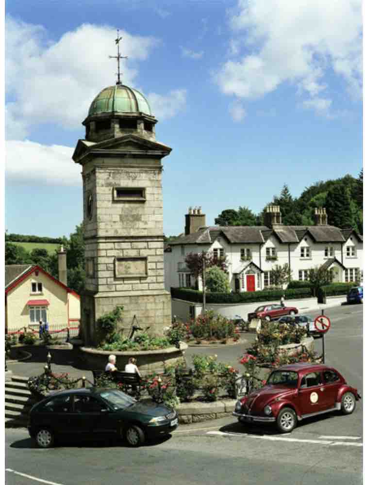 IndicatedEnclosure · 1216 yd
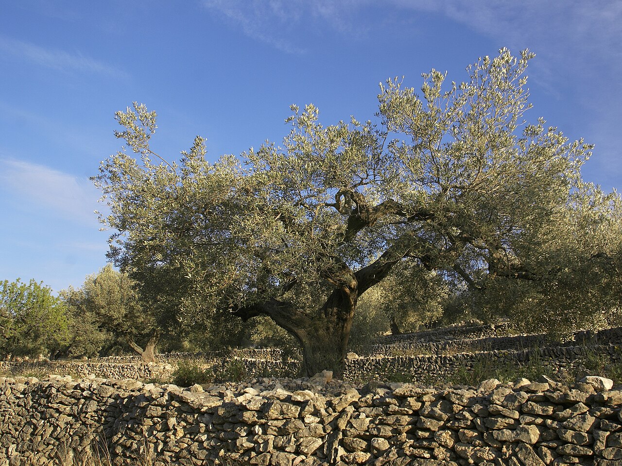 Olive treeOlive tree · 1396 yd
 Magheramore BeachBeach / strand · 1607 yd
 Enclosure in BonabrockaEnclosure · 1.1 mi
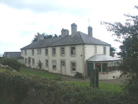 Saint Michael's Housecoastguard station · 1.1 mi
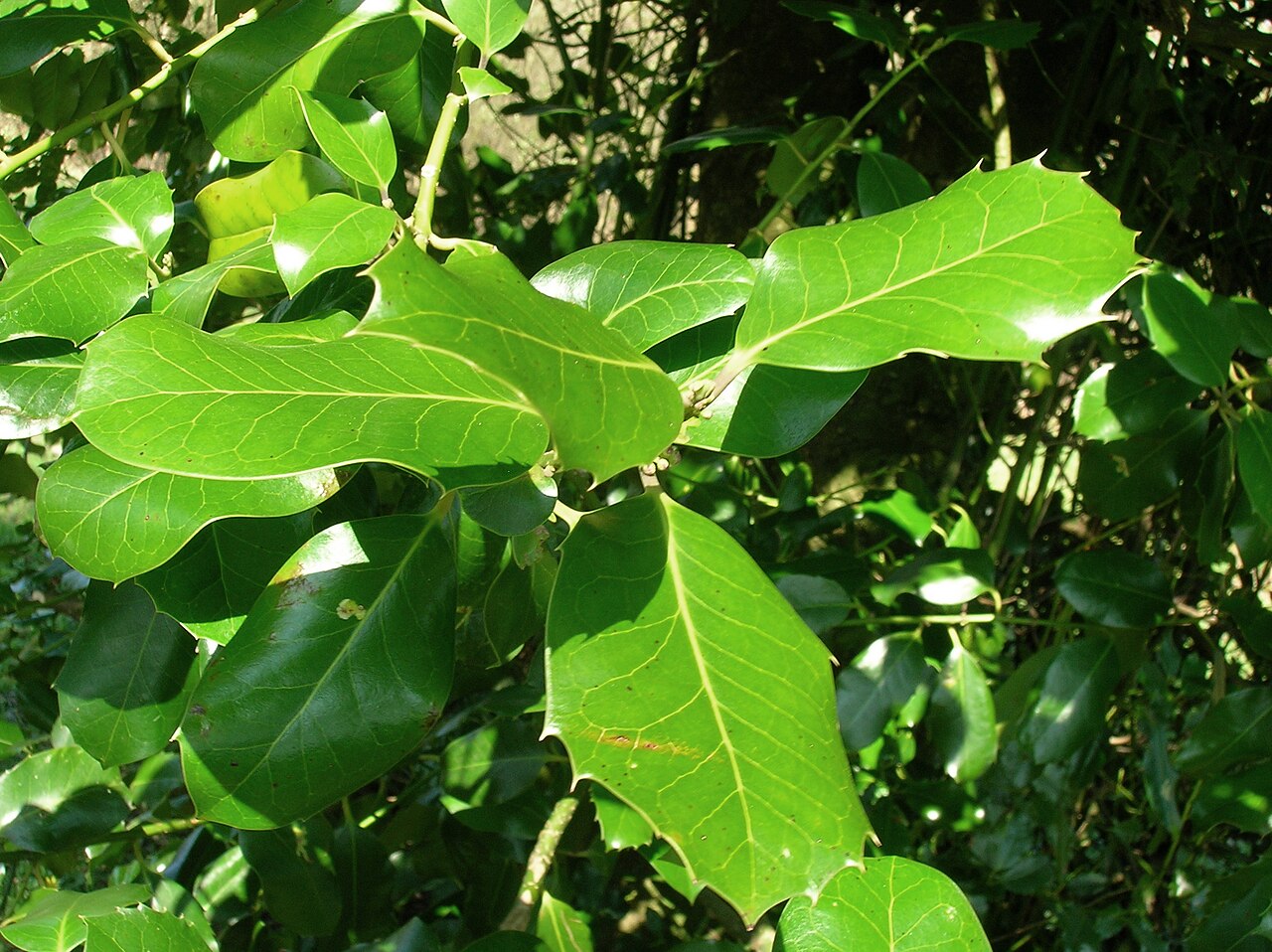 Highclere hollyHighclere holly · 1.8 mi
 Castletimon Church (in ruin)Church · 2.0 mi
 Glen Beach Cliff WalkWalking route · 3.3 mi
 Black Castle (in ruin)Castle, Anglo-Norman masonry castle · 3.9 mi
 Round MountCastle, motte · 4.1 mi
 Carrick MountainMountain / peak · 6.6 mi
Other information
Photo: Credit not shown in the picture search · Rights wording not checked; contact us if this picture should be removed