What is recorded here
Located on a plateau at the SE base of a low hill, and on the NE side of the NW-SE River Slaney with the river c. 350m to the SW. The cropmark of a small circular enclosure (diam. c. 5-10m) is visible on aerial photograph (CUCAP, BGF 33). It is cut by the ditch feature forming the boundary of a narrow woodland adjacent to a NW-SE road that is c. 10m SW of the site. It is not visible at ground level in pasture. Ring-ditch (WX020-012002-) is c. 80m to the NW.
Compiled by: Michael Moore
Date of upload: 31 May, 2012
The monument record does not grant public access. Check the route and ask the landowner before entering private land.
- What survives
- Recorded monument
Places near here
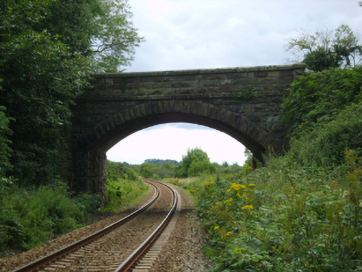 bridgebridge · 442 yd
 Solsborough Bridgebridge · 621 yd
 Fulacht fia in BallynahallinFulacht fia · 1082 yd
 U.N. Peace MemorialMonument · 2.9 mi
 Duffry GateMemorial · 3.0 mi
 Battle of Vinegar HillMajor battlefield · 3.0 mi
 National 1798 CentreMuseum · 3.3 mi
 Daphney CastleCastle, unclassified · 3.9 mi
 CastleCastle, ringwork · 5.0 mi
 Pedunculate OakPedunculate Oak · 5.1 mi
 European LarchEuropean Larch · 6.1 mi