What is recorded here
Located in a fairly level landscape with the SW-NE Hurley stream c. 160m to the SE. The faint cropmark of a circular enclosure (int. diam. c. 10m) defined by three fosses (int. diam. c. 10m; ext. diam. c. 35m) is partly visible only on Apple Maps which utilises a survey conducted by Bluesky International during June 2018. The defining features are clearly visible SE-SW, but can also be traced NE-SE. It was first reported by Anthony Murphy.
See the attached enhanced view from Apple Maps
Compiled by: Michael Moore
Date of upload: 7 February 2020
The monument record does not grant public access. Check the route and ask the landowner before entering private land.
- What survives
- Recorded monument
Places near here
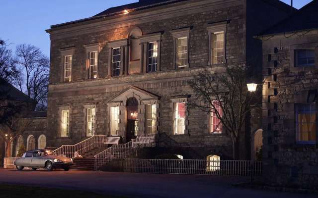 Enclosure in RathfeighEnclosure · 605 yd
 Enclosure in TimooleEnclosure · 1445 yd
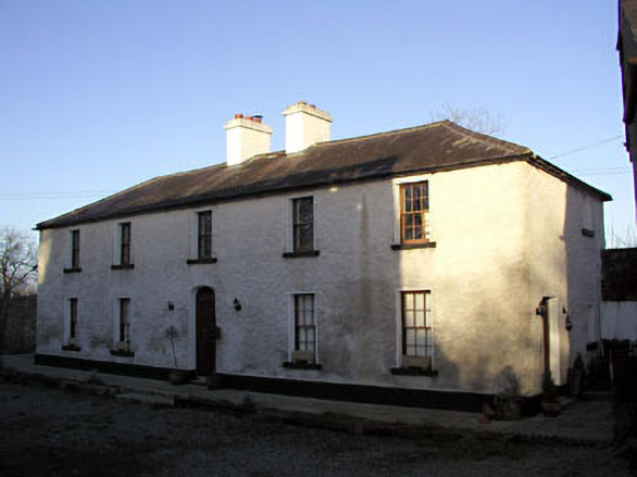 Mill House, Delaney's Millmiller's house · 1.1 mi
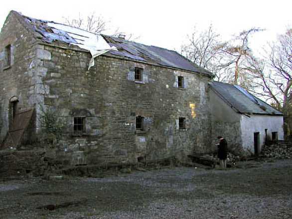 Delaney's Millmill (water) · 1.1 mi
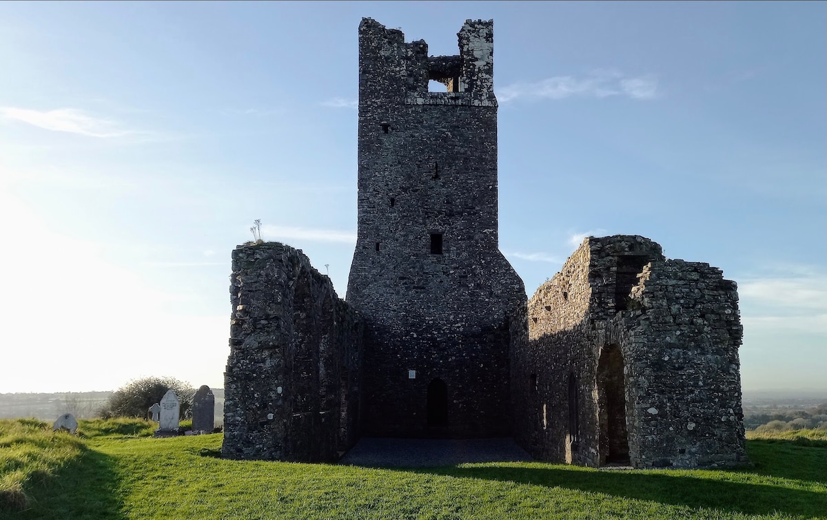 CastleCastle, motte · 1.3 mi
 Athcarne CastleCastle, tower house · 1.5 mi
 PuddenhillHeritage attraction · 2.1 mi
 European BeechEuropean Beech · 2.2 mi
 European ashEuropean ash · 2.6 mi
 Candle HillMountain / peak · 3.4 mi
 Newtown HillMountain / peak · 4.0 mi
 Emerald ParkHeritage attraction · 4.3 mi