What is recorded here
Circular flat-topped and grass-covered mound (diam. of top 32m; diam. of base 62m; H 4-5.5m) sited on top of a ridge. There is no visible fosse or entrance. A bailey may have been to the S and SW. The parish church of Rathfeigh (ME032-027001-) is c. 100m to the SW, but the mound is so large that it may be a prehistoric mound in origin.
The above description is derived from the published 'Archaeological Inventory of County Meath' (Dublin: Stationery Office, 1987). In certain instances the entries have been revised and updated in the light of recent research.
Date of revision: 2 June 2016
A local castle; wider significance not recorded.
The monument record does not grant public access. Check the route and ask the landowner before entering private land.
- What survives
- Recorded monument
Places near here
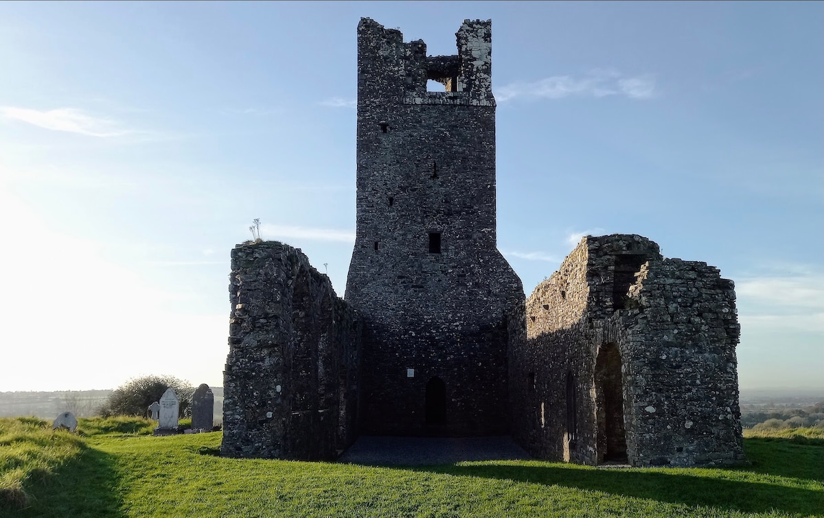
 RuinChurch · 164 yd
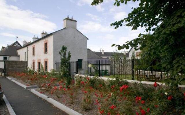 Enclosure in RathfeighEnclosure · 337 yd
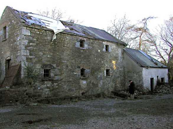 Delaney's Millmill (water) · 941 yd
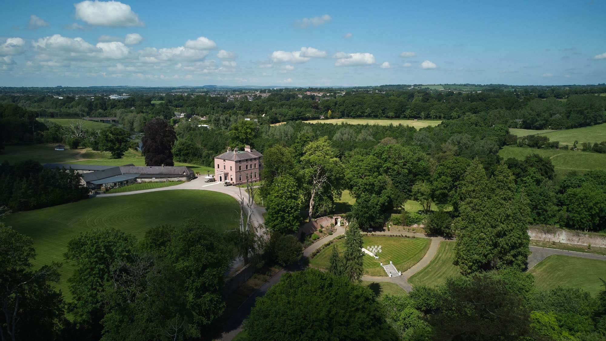 Enclosure in BellewEnclosure · 1610 yd
 Macetown CastleCastle, tower house · 1.1 mi
 PuddenhillHeritage attraction · 2.4 mi
 Candle HillMountain / peak · 2.4 mi
 European ashEuropean ash · 2.6 mi
 European BeechEuropean Beech · 2.8 mi
 Athcarne CastleCastle, tower house · 2.8 mi
 Emerald ParkHeritage attraction · 3.4 mi
 Newtown HillMountain / peak · 3.6 mi
Other information
Photo: Credit not shown in the picture search · Rights wording not checked; contact us if this picture should be removed