What is recorded here
Located on a rise on a NE-facing slope. The cropmark of a small enclosure (diam. c. 10m) is visible on Digital Globe images (c. 2013). The cropmark is also visible on vertical photographs from the 1970s (GSIAP: O 306) and is also depicted as a small tree clump on the 1908 edition of the OS 6-inch map. Ring-ditch (ME027-124001-) is c. 130m to the WSW and the features were first reported by Ken Williams.
See the attached enhanced image (top) from Digital Globe
Compiled by: Michael Moore
Date of upload; 25 June 2021
The monument record does not grant public access. Check the route and ask the landowner before entering private land.
- What survives
- Recorded monument
Places near here
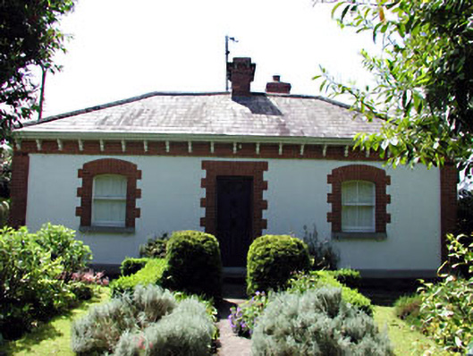 The Herd Cottageworker's house · 692 yd
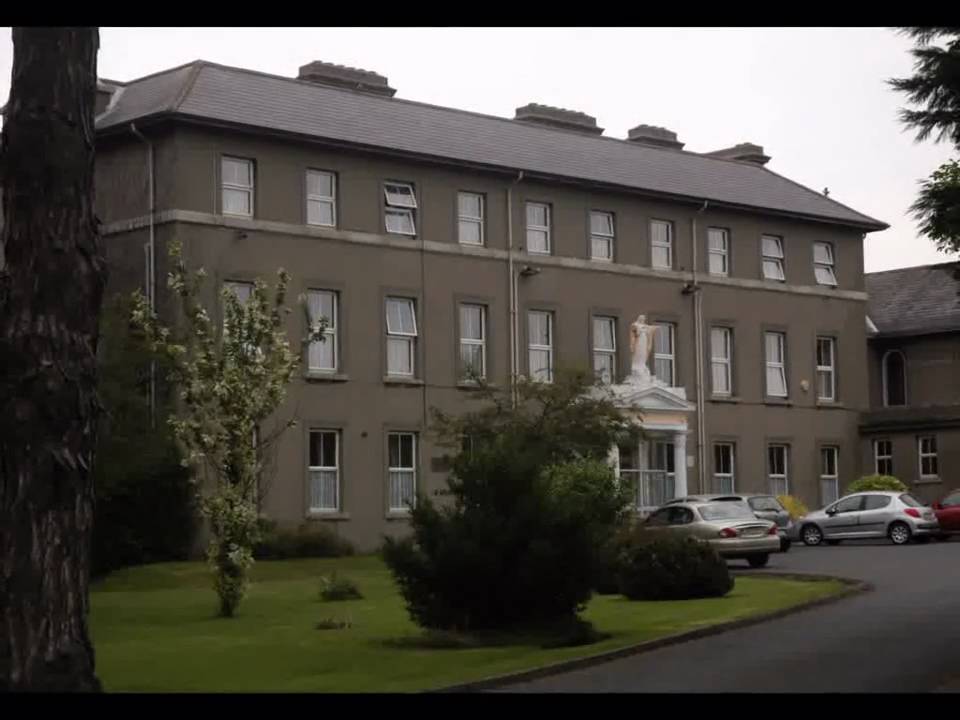 Enclosure in Beaumont (duleek Upper By.)Enclosure · 860 yd
 Enclosure in Hilltown LittleEnclosure · 994 yd
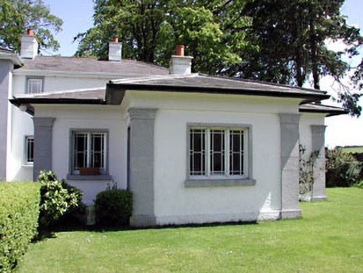 Hilltown Housegate lodge · 1072 yd
 CastleCastle, unclassified · 1584 yd
 Common LimeCommon Lime · 2.4 mi
 Platin HouseCastle, unclassified · 2.8 mi
 Battle of Julianstownbattle · 3.5 mi
 Newgrange Business ParkMemorial · 3.6 mi
 Tullog WoodForest · 4.1 mi
 Brú na Bóinne Visitor Centre AccessHeritage attraction · 4.6 mi
 Brú na Bóinne Visitors CentreVisitor information · 4.6 mi