
What is recorded here
A circular enclosure (diam. c. 25m) defined by a single fosse feature is visible as a cropmark on an aerial photograph (Bing 2013). (pers. comm. T. Condit)
Compiled by: David O’Connor
Date of upload: 1 November 2013
The monument record does not grant public access. Check the route and ask the landowner before entering private land.
- What survives
- Recorded monument
Places near here
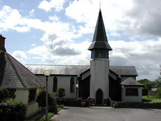 Saint Thérèse's Catholic Churchchurch/chapel · 760 yd
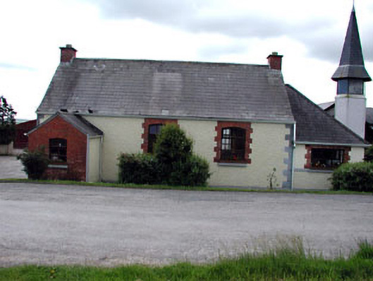 Bellewstown National Schoolschool · 764 yd
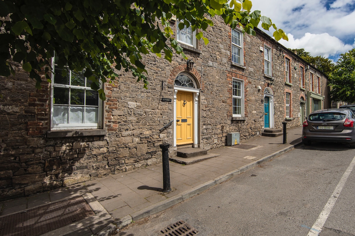 Enclosure in Ongenstown (duleek Upper By.)Enclosure · 1090 yd
 Enclosure in Bellewstown (duleek Upper By.)Enclosure · 1397 yd
 CastleCastle, unclassified · 1.2 mi
 Common LimeCommon Lime · 2.4 mi
 Platin HouseCastle, unclassified · 3.3 mi
 Tullog WoodForest · 3.7 mi
 Battle of Julianstownbattle · 3.7 mi
 Newgrange Business ParkMemorial · 4.2 mi
 PuddenhillHeritage attraction · 4.7 mi
 Brú na Bóinne Visitor Centre AccessHeritage attraction · 4.9 mi
Other information
Photo: Credit not shown in the picture search · Rights wording not checked; contact us if this picture should be removed