What is recorded here
Situated on the SE-facing slope of a NW-SE spur. The cropmark of a small circular enclosure (int. diam. c. 9m) defined by a continuous fosse (Wth c. 1m) is visible only on Apple Maps, which utilises a survey conducted by Blue Sky International during June 2018. Ring-ditch (LH024-076002-) is c. 30m to the SE. The features were first reported by Anthony Murphy, and this feature is also visible on Google Earth (12/07/2013).
See the attached enhanced view (upper) from Apple Maps
Compiled by: Michael Moore
Date of upload: 24 January 2020
The monument record does not grant public access. Check the route and ask the landowner before entering private land.
- What survives
- Recorded monument
Places near here
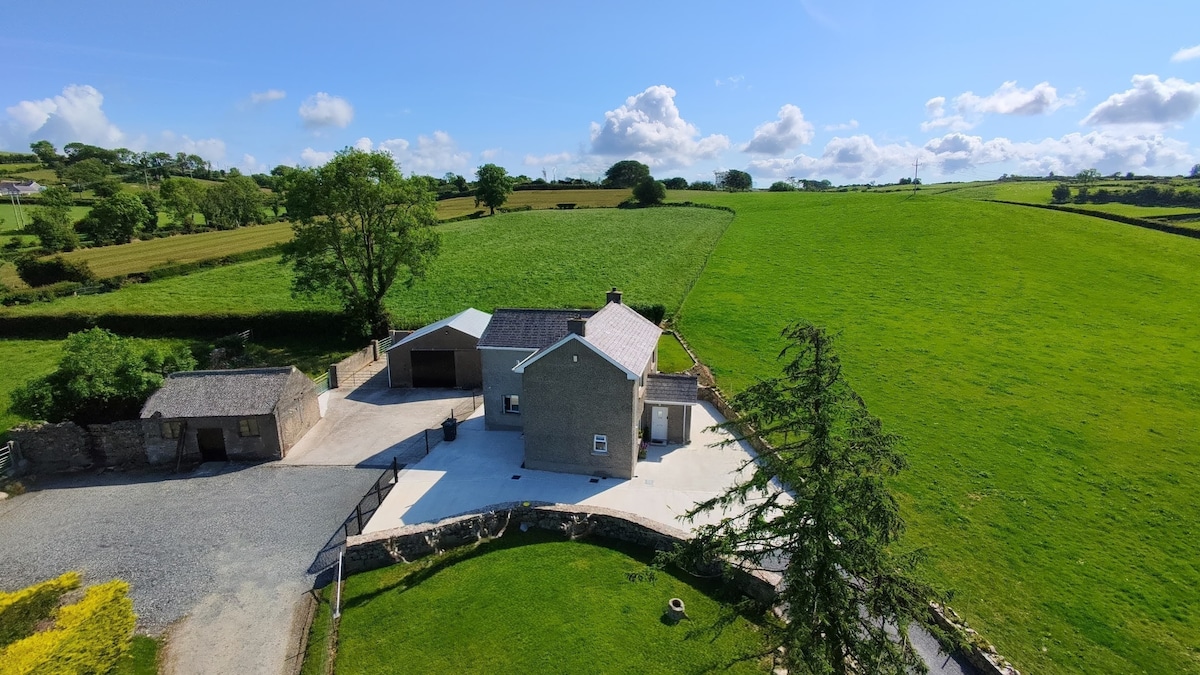
 Structure in BalgatheranStructure · 445 yd
 Hut site in BalgatheranHut site · 498 yd
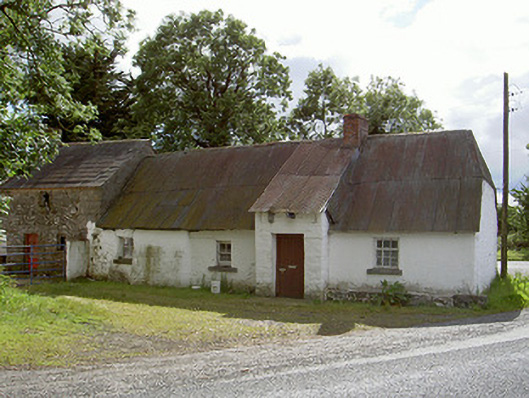 Halfway Househouse · 1178 yd
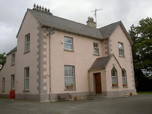 presbytery/parochial/curate's housepresbytery/parochial/curate's house · 1223 yd
 Battle of the Boyne Visitor CentreMuseum · 1.6 mi
 Grove IslandIslet · 1.6 mi
 Battle of the BoyneMajor battlefield · 1.6 mi
 Quarry Garden WoodForest · 1.7 mi
 European YewEuropean Yew · 1.7 mi
 Yellow IslandIslet · 1.8 mi
 Drummond TowerCastle · 1.8 mi
 Proudfootstown CastleCastle, unclassified · 2.3 mi