What is recorded here
Aerial photograph (GB90.BM.02.) shows a ring-ditch. Low level earthwork on aerial photograph. Now surrounded by quarrying. May already have been destroyed. First recorded as a positive cropmark in July 1990.
The above report has been compiled by Dr. G.F. Barrett and supplied to the Archaeological Survey of Ireland.
Date of this report: 03 December 2009
Compiled by Caimin O'Brien
Date of upload / revision : 14 August 2010
The monument record does not grant public access. Check the route and ask the landowner before entering private land.
- What survives
- Recorded monument
Places near here
 Enclosure in GrenanEnclosure · 252 yd
 Church (in ruins)Church · 432 yd
 Enclosure in BallynasleeEnclosure · 551 yd
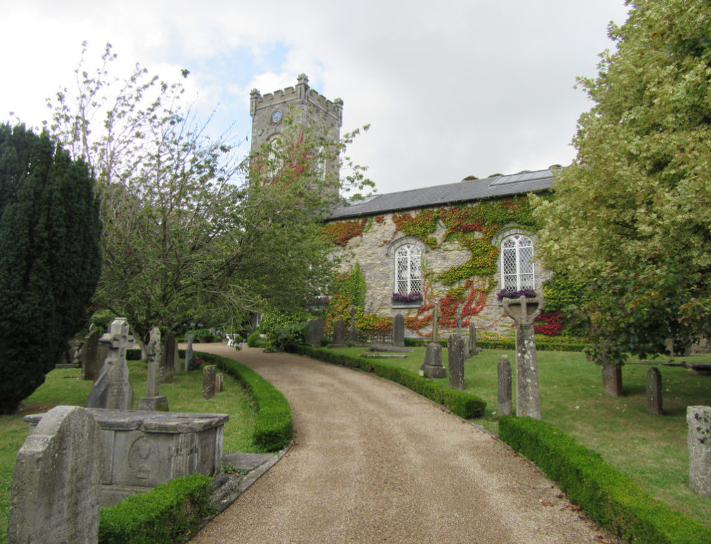 Church in BallyconraChurch · 886 yd
 Anker's IslandIsland · 887 yd
 CastleCastle, motte · 1037 yd
 Moat Castle (site of)Archaeological place · 1.3 mi
 Graveyard in SraleaghGraveyard · 2.0 mi
 Donaghmore WellSpring · 3.2 mi
 1798 MonumentMemorial · 4.3 mi
 Common LimeCommon Lime · 4.5 mi
 Pedunculate OakPedunculate Oak · 5.0 mi