What is recorded here
Aerial photograph (CUCAP BGN 34) shows a cropmark of a fosse defining circular area with entrance at the N (est. max diam. c. 25m). Probably a ringditch or ringbarrow.
Date of upload: 8 September 2016
The monument record does not grant public access. Check the route and ask the landowner before entering private land.
- What survives
- Recorded monument
Places near here
 Enclosure in Grangerosnolvan UpperEnclosure · 225 yd
 Church in Kilkea LowerChurch · 973 yd
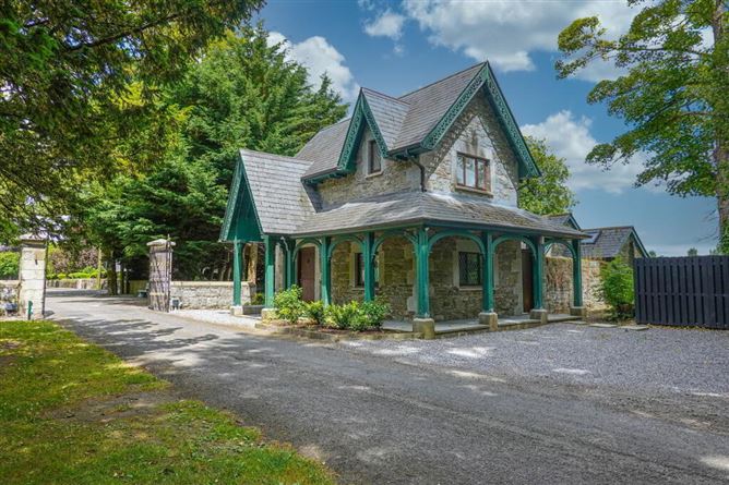 Enclosure in Kilkea Lodge FarmEnclosure · 1227 yd
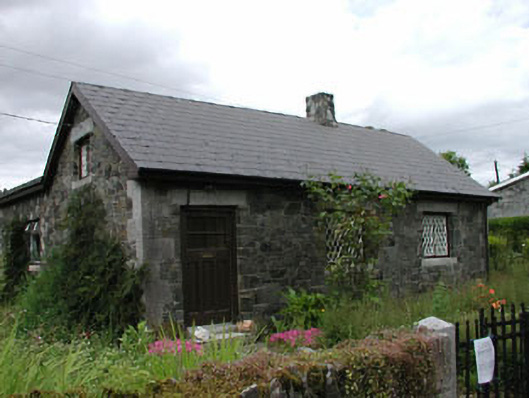 worker's houseworker's house · 1534 yd
 MoatCastle, motte · 1.1 mi
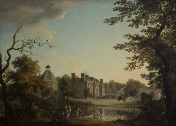 Belan HouseCastle, unclassified · 1.3 mi
 Mullaghreelan WoodForest · 1.5 mi
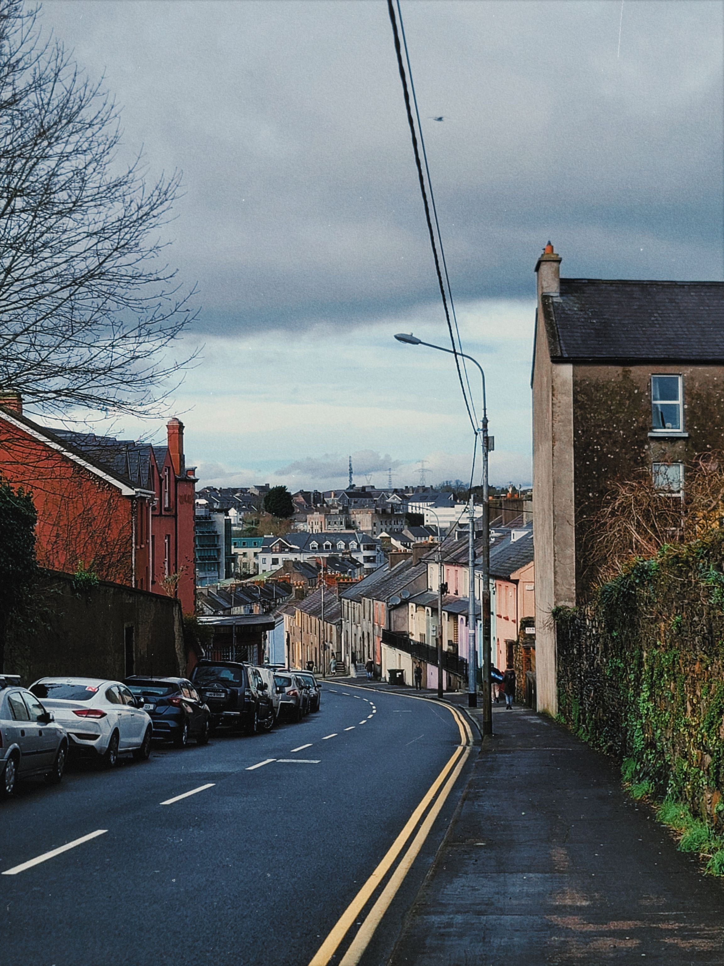 Irishtown WoodWood · 1.6 mi
 Lorcán Ó TuathailMemorial · 1.8 mi
 ProclamationMemorial · 3.8 mi
 Castledermot Round TowerHeritage attraction · 3.9 mi
 Franciscan FriaryHeritage attraction · 4.0 mi