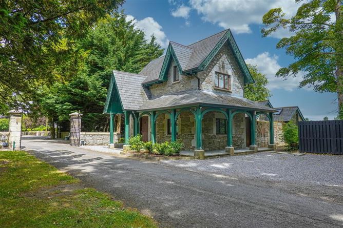
What is recorded here
Kilkea Lodge Farm in County Kildare holds a ghost of a ringfort, visible only when drought stresses the grass or rain saturates the soil. The pencilled warning about a levelled rath suggests human arrogance erased the marker, yet the earth retains the shape of forty metres of ancient boundary. Fields cut through the memory like knives, but the circle persists beneath the soil, waiting for water to reveal what ownership tried to forget.
Aerial photograph (CUCAP BDH 76) shows a cropmark of circular enclosure (est max diam. c. 40m) with approximately rectangular field system (KD037-013002-) extending to E. Probably a ringfort with later field systems. Pencilled note 'levelled rath' on OS 6-inch map in National Library (NL 1 Ms 16 H 34 (23)).
Date of upload: 8 September 2016
The monument record does not grant public access. Check the route and ask the landowner before entering private land.
- What survives
- Recorded monument
Places near here
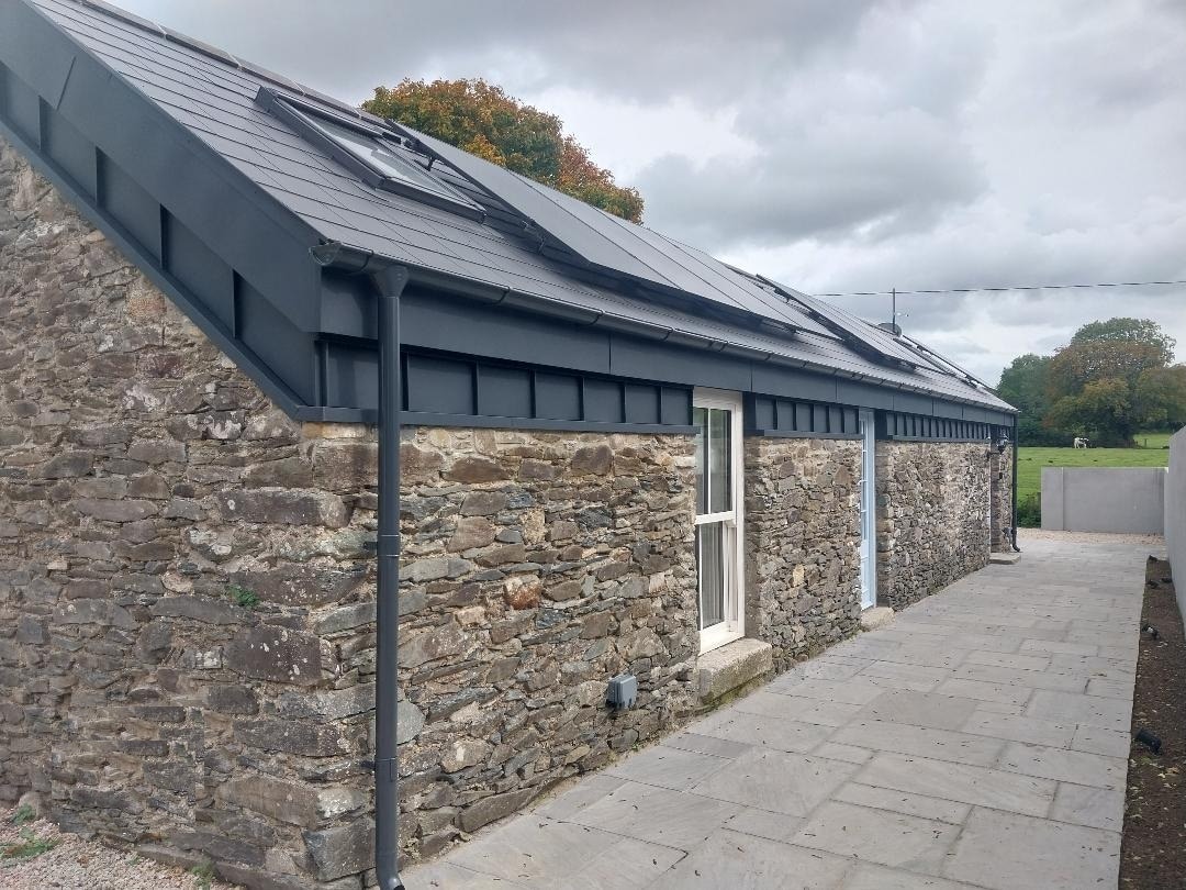 Enclosure in Grangerosnolvan UpperEnclosure · 290 yd
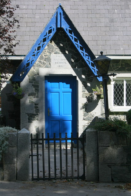 Kilkea National Schoolschool · 597 yd
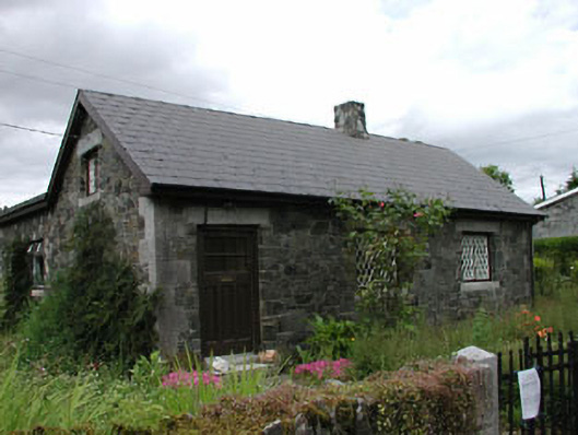 worker's houseworker's house · 612 yd
 MoatCastle, motte · 1137 yd
 Cross in Kilkea DemesneCross · 1282 yd
 Dollardstown WoodForest · 1.0 mi
 Mullaghreelan WoodForest · 1.4 mi
 CastleCastle, ringwork · 1.5 mi
 Lorcán Ó TuathailMemorial · 1.5 mi
 ProclamationMemorial · 3.7 mi
 Castledermot Round TowerHeritage attraction · 3.8 mi
 Franciscan FriaryHeritage attraction · 3.9 mi
Other information
Photo: Credit not shown in the picture search · Rights wording not checked; contact us if this picture should be removed