What is recorded here
Located on a rise on the N bank of a WSW-ENE section of the River Boyne, with the stream c. 160m to the S. The cropmark of a circular enclosure (diam. c. 8m) defined by a continuous fosse feature (Wth c. 1-2m) is visible on Google Earth (12/07/2013; 07/05/2017; 14/07/2018). It was first reported by Gillian Barrett in 2009, but an incorrect location c. 150m further W was entered. The Google Earth images were reported by Jean Charles Caillére.
See the attached image from Google Earth 14/07/2018
Compiled by: Michael Moore
Date of revised upload: 27 May 2019
The monument record does not grant public access. Check the route and ask the landowner before entering private land.
- What survives
- Recorded monument
Places near here
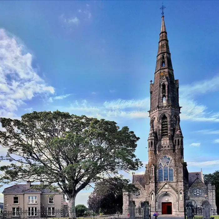 Church (in Ruins)Church · 741 yd
 Assey CastleCastle, tower house · 790 yd
 European BeechEuropean Beech · 1128 yd
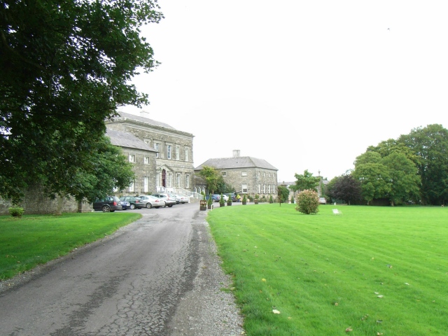 Bellinter Housecountry house · 1140 yd
 Enclosure in Grange (navan Upper By.)Enclosure · 1243 yd
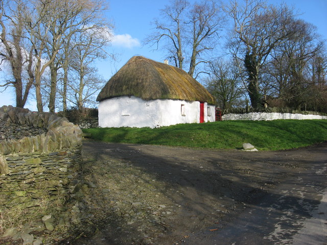 Enclosure in Balgeeth (deece Lower By.)Enclosure · 1434 yd
 IndicatedCastle, unclassified · 1.1 mi
 Fox CovertWood · 1.4 mi
 Saint Patrick'sMemorial · 3.0 mi
 Hill of TaraVisitor information · 3.0 mi
 Battle of Tara (Ireland)Major battlefield · 3.1 mi
 Battle of Tara Hillbattle · 3.1 mi