What is recorded here
In pasture. A circular enclosure (diam. c. 10-12m) visible on satellite imagery (Google Earth satellite imagery, 20 January 2020), identified and reported by Jean-Charles Caillère. An enclosure (TS059-021----) is located c. 100m to the NW.
See attached:
TS059-195----_03 Google Earth satellite imagery, 20 January 2020
Compiled by: Jean Farrelly
Date of upload: 2 February 2022
The monument record does not grant public access. Check the route and ask the landowner before entering private land.
- What survives
- Recorded monument
Places near here
 TemplemacduaghChurch · 885 yd
 Enclosure in AttybrickEnclosure · 1036 yd
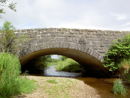 Morpeth Bridgebridge · 1268 yd
 Enclosure in Pallas (donohill Par.)Enclosure · 1572 yd
 Site of CastleCastle, unclassified · 1.3 mi
 Maudemount BogWood · 1.3 mi
 Dundrum Woods (Marl Bog)Forest · 1.8 mi
 Donohill MoatCastle, motte and bailey · 1.9 mi
 Soloheadbeg Ambushambush · 3.0 mi
 Soloheadbeg Ambush SiteMemorial · 3.4 mi
 I.R.A. 3rd. Tipperary Brigade MemorialMemorial · 4.6 mi
 It's a long way to TippereryHeritage attraction · 5.1 mi