What is recorded here
Ring-ditch in Glebe South held four cremation burials and small blue glass beads before development erased it. The ditch measured six metres across and sat seventeen metres south of its sibling, marking a crowded ancestral landscape now gone. Charcoal from one cremation dated to 360-90 BC, proving the site belonged to the Iron Age rather than legend.
One of two similar ring-ditches excavated (Licence no. 04E0680) in advance of development. Located 17m south of ring-ditch (DU005-138001-) this ring-ditch (6m diam.) contained four cremation burial deposits. Fourteen small annular blue glass beads and an unidentified iron object were found with one cremation and three small blue glass beads with another. An amber toggle bead was found in the upper layers of the ditch. Charcoal from a cremation yielded a calibrated radiocarbon date of 360-90 BC (Carroll et al. 2008, 126).
Compiled by: Christine Baker
Date of upload: 2 February 2015
The monument record does not grant public access. Check the route and ask the landowner before entering private land.
- What survives
- Recorded monument
Places near here
 Burial in Glebe SouthBurial · 28 yd
 ExcavationExcavation, miscellaneous · 161 yd
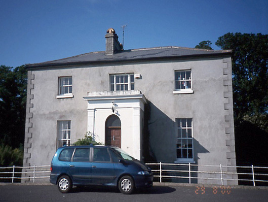 Tara Houserectory/glebe/vicarage/curate's house · 205 yd
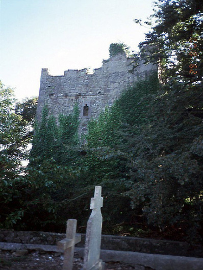 castle/fortified housecastle/fortified house · 220 yd
 Balrothery Heritage CentreMuseum · 254 yd
 Balrothery TowerCastle · 260 yd
 Flat cemetery in DarcystownFlat cemetery · 307 yd
 Wavin LakesNature reserve · 883 yd
 Castle (remains of)Castle, tower house · 1656 yd
 Barn WoodWood · 1.0 mi
 Ardgillan Castle and DemesneHeritage attraction · 1.1 mi
 BBQ AreaPicnic place · 1.1 mi