What is recorded here
Situated on a fairly level landscape with a small W-E stream c. 100m to the N. The cropmark of a small circular enclosure (int. diam. c. 10m) defined by a single fosse is visible on an oblique aerial photograph (CUCAP: AVF 041) from 1968. It is also visible on OSIAP (2005) and Google Earth (24/06/2018). (Feeley 2001, 45-6, No. 35)
See the attached enhanced view from Google Earth (24/06/2018)
The above description is derived from the published 'Archaeological Inventory of County Meath' (Dublin: Stationery Office, 1987). In certain instances the entries have been revised and updated in the light of recent research.
Date of revision: 18 September 2017
Amended: 17 December 2021
The monument record does not grant public access. Check the route and ask the landowner before entering private land.
- What survives
- Recorded monument
Places near here
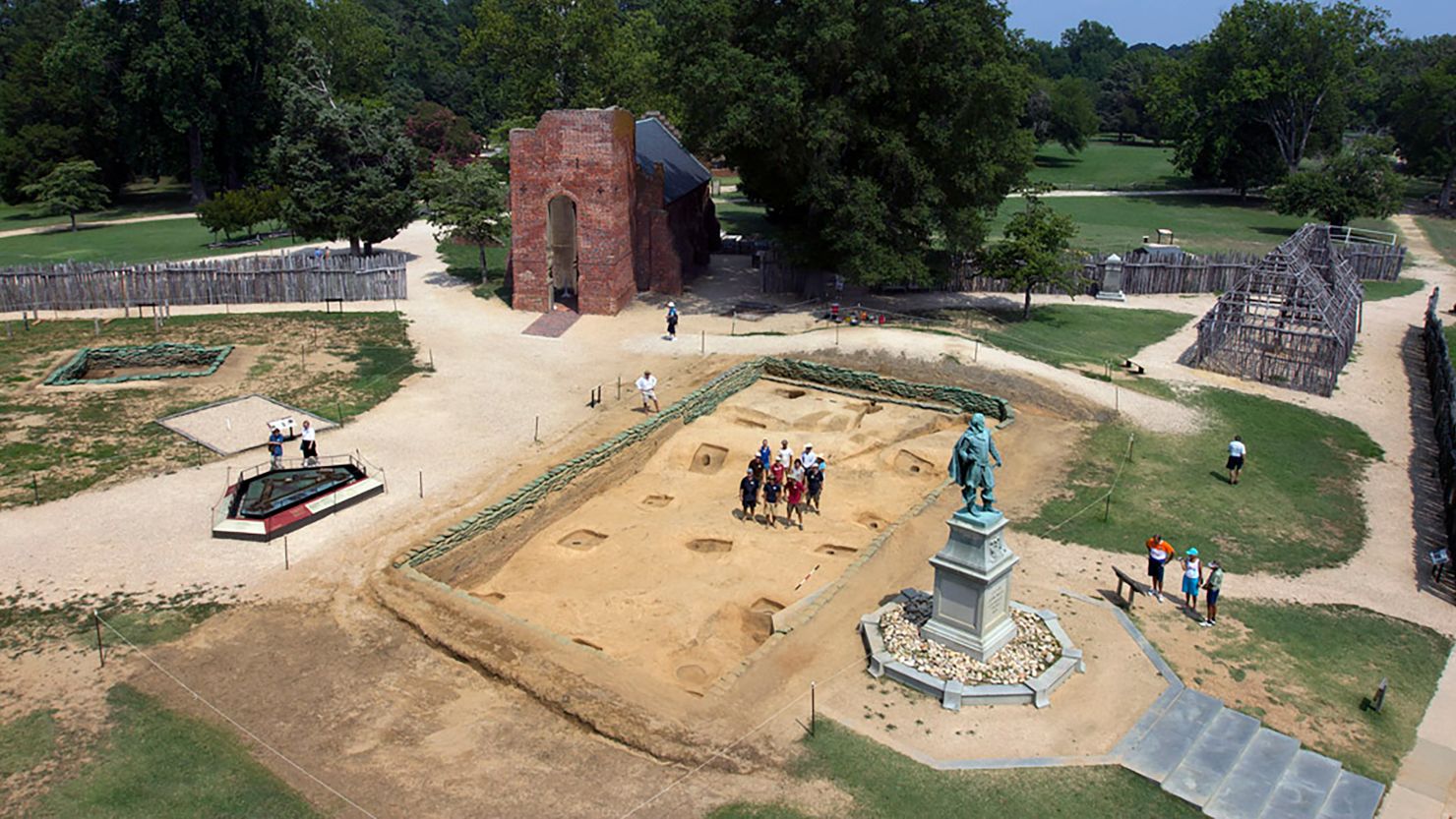 Enclosure in Jamestown (ratoath By.)Enclosure · 1550 yd
 Enclosure in Tankardstown (ratoath By.)Enclosure · 1732 yd
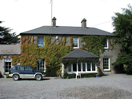 Fox Lodgehouse · 1.6 mi
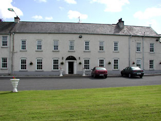 Ratoath Manorcountry house · 1.6 mi
 MoatCastle, motte and bailey · 1.7 mi
 Caulstown Christmas Tree FarmForest · 2.3 mi
 CastleCastle, motte · 2.4 mi
 AshbourneMemorial · 2.7 mi
 Wesley's WoodsWood · 2.8 mi
 Cornstown HouseHeritage attraction · 4.1 mi
 Emerald ParkHeritage attraction · 4.3 mi
 Lismahon 1798 MemorialMonument · 4.4 mi