What is recorded here
Aerial photographs (GB91.DZ.20 and GB96. FX.27) show cropmark of a ring-ditch; a small circular feature is located within the ring-ditch, positioned off-centre on the southern side. One of four ring-ditches in close proximity (see also CW012-175----, CW012-176---- and CW012-200----).
Compiled by: Dr Gillian Barrett for the Archaeological Survey of Ireland.
Date of upload: 1 February 2012
The monument record does not grant public access. Check the route and ask the landowner before entering private land.
- What survives
- Recorded monument
Places near here
 Enclosure in Oldtown (nurney Ed)Enclosure · 981 yd
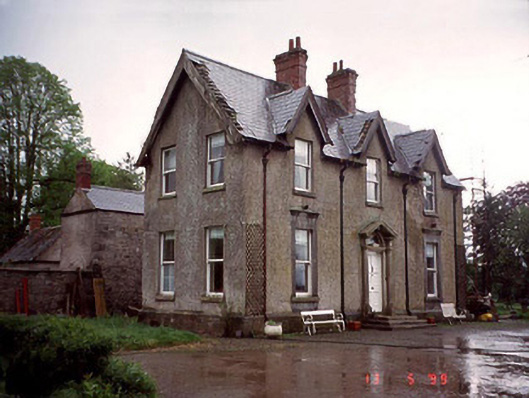 Garryhundon Househouse · 1282 yd
 CrossCross, High cross · 1519 yd
 Saint John's Church (Nurney)church/chapel · 1552 yd
 Common LimeCommon Lime · 1.1 mi
 Graveyard in ClonmelshGraveyard · 1.3 mi
 Graveyard in Tomard Lower (3 Detached Portions)Graveyard · 2.2 mi
 Black Castle (in ruins)Castle, tower house · 2.4 mi
 Graiguealug Castle in ruinsCastle, unclassified · 2.9 mi
 Sweet ChestnutSweet Chestnut · 3.1 mi
 The Columban WayVisitor information · 3.9 mi
 Lock Keeper's House and Lodge MillsVisitor information · 4.0 mi