What is recorded here
Situated on the S-facing slope of a slight E-W spur, and c. 30m S of the cutting for the defunct KIilmessan to Athboy railway spur. The cropmarks of three small enclosures in a WNW-ESE line are visible on Google Earth (14/07/2018). This central feature (diam. c. 6m) is defined by a single fosse feature. There are ring-ditches c. 8m to the WNW and c. 6m to the ESE. They are also faintly visible on OSI images (1995), and were first reported by Jean Charles Caillere.
See the attached image from Google Earth 14/07/2018
Compiled by: Michael Moore
Date of upload: 5 June 2019
The monument record does not grant public access. Check the route and ask the landowner before entering private land.
- What survives
- Recorded monument
Places near here
 CastleCastle, motte · 870 yd
 Scurlogstown CastleArchaeological place · 878 yd
 Church (in Ruins)Church · 994 yd
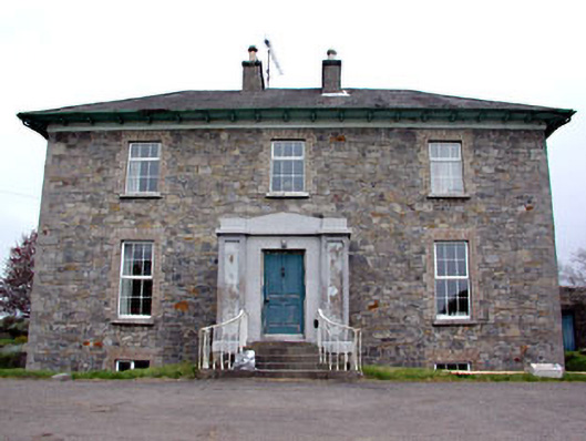 Newtown Parkhouse · 1288 yd
 Font in TrubleyFont · 1.3 mi
 CrossCross, High cross (present location) · 1.4 mi
 Small-leaved ElmSmall-leaved Elm · 2.2 mi
 Wych ElmWych Elm · 2.5 mi
 MullaghMountain / peak · 8.0 mi
 Candle HillMountain / peak · 8.1 mi
 Larchil Arcadian GardensHeritage attraction · 8.5 mi
 Kilgar GardensHeritage attraction · 8.7 mi