What is recorded here
Located in large arable field close to the field’s N boundary, c. 295m NE of a large cropmark enclosure (DU014-102----), cropmarks indicate the presence of an arrangement of four ring-ditches. The ring-ditches are visible on Google Earth imagery (24 June 2018). This is the westernmost of the four ring-ditches. The ring-ditch (ext. diam. c. 12.8m) is defined by a ditch (Wth c. 1.3m). There is no evidence for an entrance gap through the ditch.
Compiled by: Tom Condit
Uploaded on: 21 April 2021
The monument record does not grant public access. Check the route and ask the landowner before entering private land.
- What survives
- Recorded monument
Places near here
 The Old Red LionInn · 171 yd
 Ring-ditch in DubberRing-ditch · 215 yd
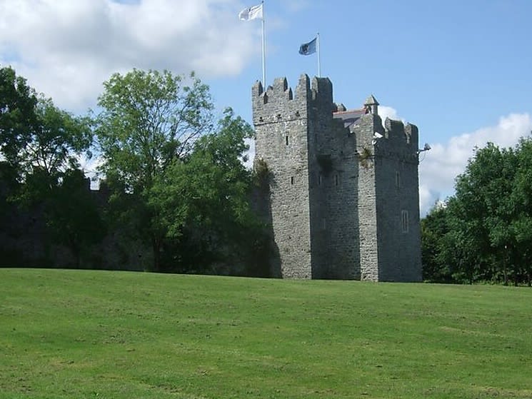 Dubber Castle (site of)Castle, unclassified · 676 yd
 Enclosure in MerryfallsEnclosure · 890 yd
 Castle (site of)Castle, unclassified · 989 yd
 Liam Ó MaoilíosaMemorial · 1662 yd
 Horizon Logistics ParkVisitor information · 1722 yd
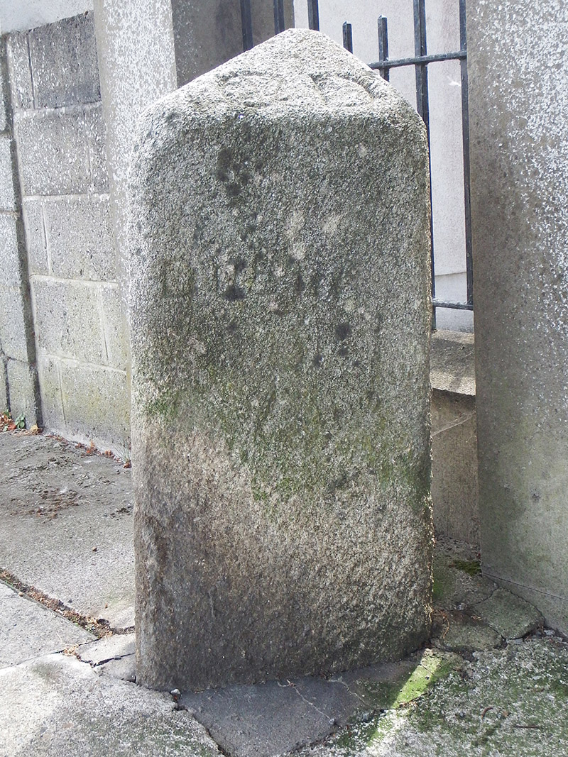 milestone/milepostmilestone/milepost · 1.0 mi
 Richard McKeeMemorial · 1.5 mi
 BallymunVisitor information · 1.8 mi
 BaldcypressBaldcypress · 2.7 mi
 Dawn RedwoodDawn Redwood · 2.7 mi