What is recorded here
A circular enclosure (diam. c. 22m), visible as a cropmark on satellite imagery (Tailte Éireann, imagery date 2001-2005 MapGenie) and on LiDAR imagery (Open Togographic Data Viewer, https://dcenr.maps.arcgis.com/apps/webappviewer/index.html?id=b7c4b0e763964070ad69bf8c1572c9f5), identified and reported by Joanne Hughes. The property of a house built between 2012 and 2016 is located c. 10m to the E. There is a telegraph pole in the NW quadrant of the enclosure.
Compiled by: Jean Farrelly
The monument record does not grant public access. Check the route and ask the landowner before entering private land.
- What survives
- Recorded monument
Places near here
 Enclosure in BallymurreenEnclosure · 711 yd
 Enclosure in ParkstownEnclosure · 1008 yd
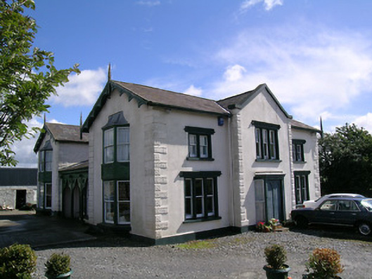 Parkstown Cottagehouse · 1276 yd
 Bawn in MoycarkyBawn · 1325 yd
 Church (in Ruins)Church · 1502 yd
 CastleCastle, tower house · 1532 yd
 Gift Horse GalleryGallery · 1.1 mi
 Horse and JockeyVisitor information · 1.5 mi
 Sweet ChestnutSweet Chestnut · 1.6 mi
 European ashEuropean ash · 1.8 mi
 Gobban Saer's GraveArchaeological place · 2.8 mi
 Killough Hill (site of)Mountain / peak · 3.1 mi