What is recorded here
Located in a large arable field, c. 500m NE of another ring-ditch (DU005-092----). The ring-ditch is clearly visible on Apple Maps (June 2018). It comprises an incomplete circular feature (ext. diam. c. 13m) defined by a ditch (Wth c. 1m) that is most clearly visible to the N and S perimeters. Linear ditches, possibly associated, can be seen to the S and W.
Compiled by: Tom Condit
Uploaded on: 21 April 2021
The monument record does not grant public access. Check the route and ask the landowner before entering private land.
- What survives
- Recorded monument
Places near here
 Ring-ditch in DarcystownRing-ditch · 103 yd
 Enclosure in DarcystownEnclosure · 311 yd
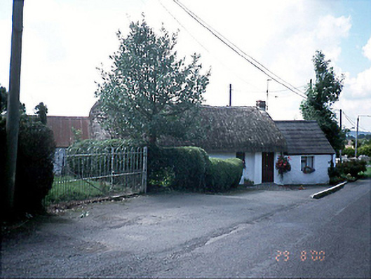 Bambers Cottagehouse · 1014 yd
 BBQ AreaPicnic place · 1168 yd
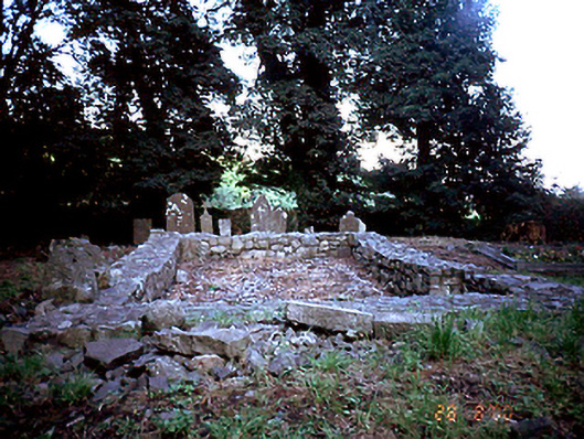 graveyard/cemeterygraveyard/cemetery · 1249 yd
 Black Hill NurseryWood · 1414 yd
 Man O'War HillMountain / peak · 1623 yd
 Flat cemetery in DarcystownFlat cemetery · 1688 yd
 Ardgillan Castle and DemesneHeritage attraction · 1698 yd
 Flat cemetery in BalcunninFlat cemetery · 1709 yd
 New PlantationWood · 1.2 mi
 Balrothery Heritage CentreMuseum · 1.3 mi