
What is recorded here
An aerial photograph (GB90. BY.08) shows cropmark of a circular enclosure defined by a fosse; a smaller, incomplete enclosure or ring-ditch (DU005-074----) is located in close proximity. This has been levelled by ploughing.
Compiled by: Geraldine Stout
Date of upload: 26 August 2011
The monument record does not grant public access. Check the route and ask the landowner before entering private land.
- What survives
- Recorded monument
Places near here
 Ring-ditch in DarcystownRing-ditch · 274 yd
 Enclosure in KillalaneEnclosure · 421 yd
 BBQ AreaPicnic place · 901 yd
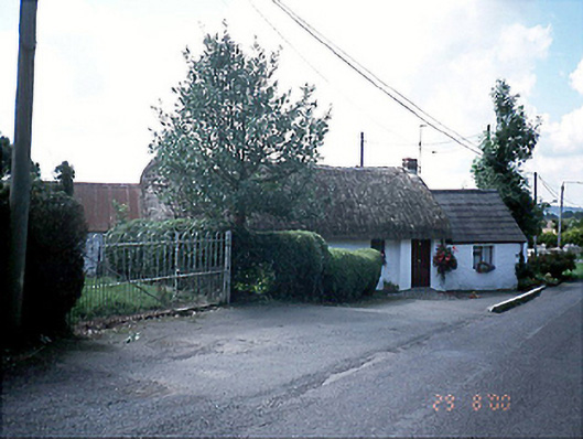 Bambers Cottagehouse · 952 yd
 Black Hill NurseryWood · 1146 yd
 Ardgillan Castlecountry house · 1364 yd
 Ardgillan Castle and DemesneHeritage attraction · 1402 yd
 Flat cemetery in DarcystownFlat cemetery · 1481 yd
 New PlantationWood · 1.0 mi
 Flat cemetery in BalcunninFlat cemetery · 1.1 mi
 Man O'War HillMountain / peak · 1.1 mi
 Balrothery Heritage CentreMuseum · 1.1 mi
Other information
Photo: Credit not shown in the picture search · Rights wording not checked; contact us if this picture should be removed