What is recorded here
Situated on a fairly level landscape. The cropmark of a circular enclosure (diam. c. 11m) defined by a single fosse feature is visible on aerial photograph (CUCAP: BDK 17). It is also visible on OSI images (1995) and Google Earth (29/06/2018).
The above description is derived from the published 'Archaeological Inventory of County Meath' (Dublin: Stationery Office, 1987). In certain instances the entries have been revised and updated in the light of recent research.
Compiled by: Michael Moore
Date of revision: 9 August 2019
The monument record does not grant public access. Check the route and ask the landowner before entering private land.
- What survives
- Recorded monument
Places near here
 Concentric enclosure in DalystownConcentric enclosure · 586 yd
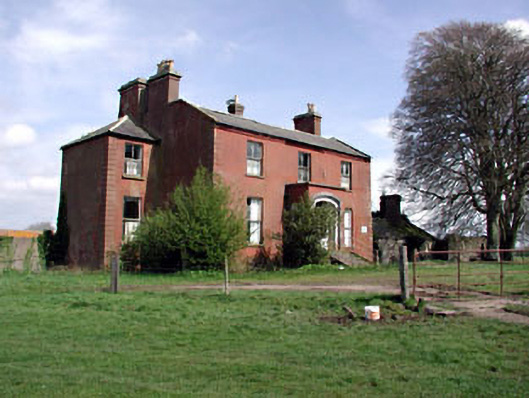 Castlerickard Housecountry house · 1053 yd
 CastleCastle, motte · 1757 yd
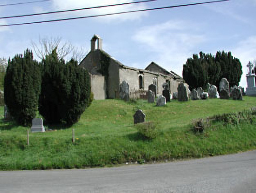 Saint Nicholas's Church (Castlerickard)church/chapel · 1.0 mi
 Common LimeCommon Lime · 1.3 mi
 EnclosureEnclosure, large enclosure · 1.3 mi
 European BeechEuropean Beech · 1.3 mi
 Donore CastleCastle · 1.6 mi
 Croppies' GraveMemorial · 5.6 mi
 Cloncurry GraveyardHeritage attraction · 7.2 mi
 Old Bog Road made famous by Teresa Bryton 1868-1943Memorial · 7.8 mi
 Kilgar GardensHeritage attraction · 9.3 mi