What is recorded here
Archaeological monitoring in 2006 uncovered a ring-shaped ditch (ext. diam 4.5m; int. diam. 3m), the fill of which contained spreads of charcoal and bone (Excavation Licence 04E1633 (Area 2)). (O’Carroll 2009, 571)
Compiled by: Claire Breen
Date of upload: 17 January 2013
The monument record does not grant public access. Check the route and ask the landowner before entering private land.
- What survives
- Recorded monument
Places near here
 Enclosure in CoolbegEnclosure · 466 yd
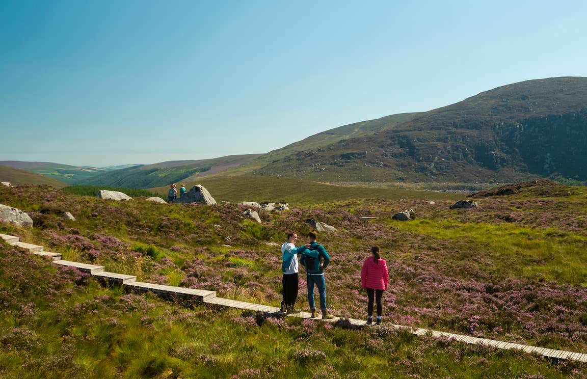 Enclosure in BallygonnellEnclosure · 1406 yd
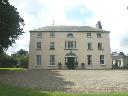 Ballymoney Housecountry house · 1.4 mi
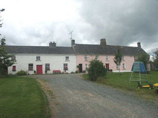 Ballymurrin Househouse · 1.4 mi
 Japanese cedarJapanese cedar · 2.5 mi
 Lawson's CypressLawson's Cypress · 2.5 mi
 CastleCastle, unclassified · 2.8 mi
 Round MountCastle, motte · 3.1 mi
 Carrick MountainMountain / peak · 3.3 mi
 Kilpoole BeachBeach / strand · 3.7 mi
 Magheramore BeachBeach / strand · 3.8 mi
 Glen Beach Cliff WalkWalking route · 3.9 mi