What is recorded here
Aerial photographs (GB95.FR.31; GB95.GP.10) show cropmark of a ring-ditch.
Compiled by: Dr Gillian Barrett for the Archaeological Survey of Ireland.
Date of revision: 14 March 2012
The monument record does not grant public access. Check the route and ask the landowner before entering private land.
- What survives
- Recorded monument
Places near here
 Graveyard in ClonmelshGraveyard · 248 yd
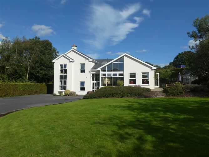 Enclosure in ClonmelshEnclosure · 284 yd
 CrossCross, High cross · 897 yd
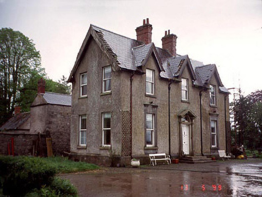 Garryhundon Househouse · 1480 yd
 Milford Locklock · 1.5 mi
 Pedunculate OakPedunculate Oak · 2.1 mi
 Graveyard in Tomard Lower (3 Detached Portions)Graveyard · 2.4 mi
 Common LimeCommon Lime · 2.5 mi
 Graiguealug Castle in ruinsCastle, unclassified · 2.7 mi
 Clogrenan CastleCastle, tower house · 2.8 mi
 Carlow County MuseumMuseum · 4.1 mi
 Carlow CastleRuined medieval castle · 4.1 mi