What is recorded here
Cropmark of fosse of small circular enclosure (diam. c. 15m) visible in aerial photograph (CASAP, July 1989). Two closely spaced parallel linear cropmarks extend from enclosure to SW for a short distance and then turn north-westwards across field.
The above description is derived from the published 'Archaeological Inventory of County Cork. Volume 4: North Cork' (Dublin: Stationery Office, 2000). In certain instances the entries have been revised and updated in the light of recent research.
Date of upload/revision: 14 January 2009
The monument record does not grant public access. Check the route and ask the landowner before entering private land.
- What survives
- Recorded monument
Places near here
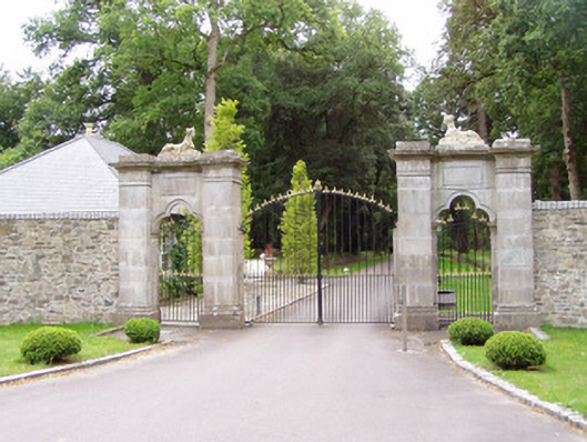 Castle Hydegates/railings/walls · 262 yd
 Enclosure in Castlehyde EastEnclosure · 279 yd
 Castle Hyde Church (Litter)mausoleum · 547 yd
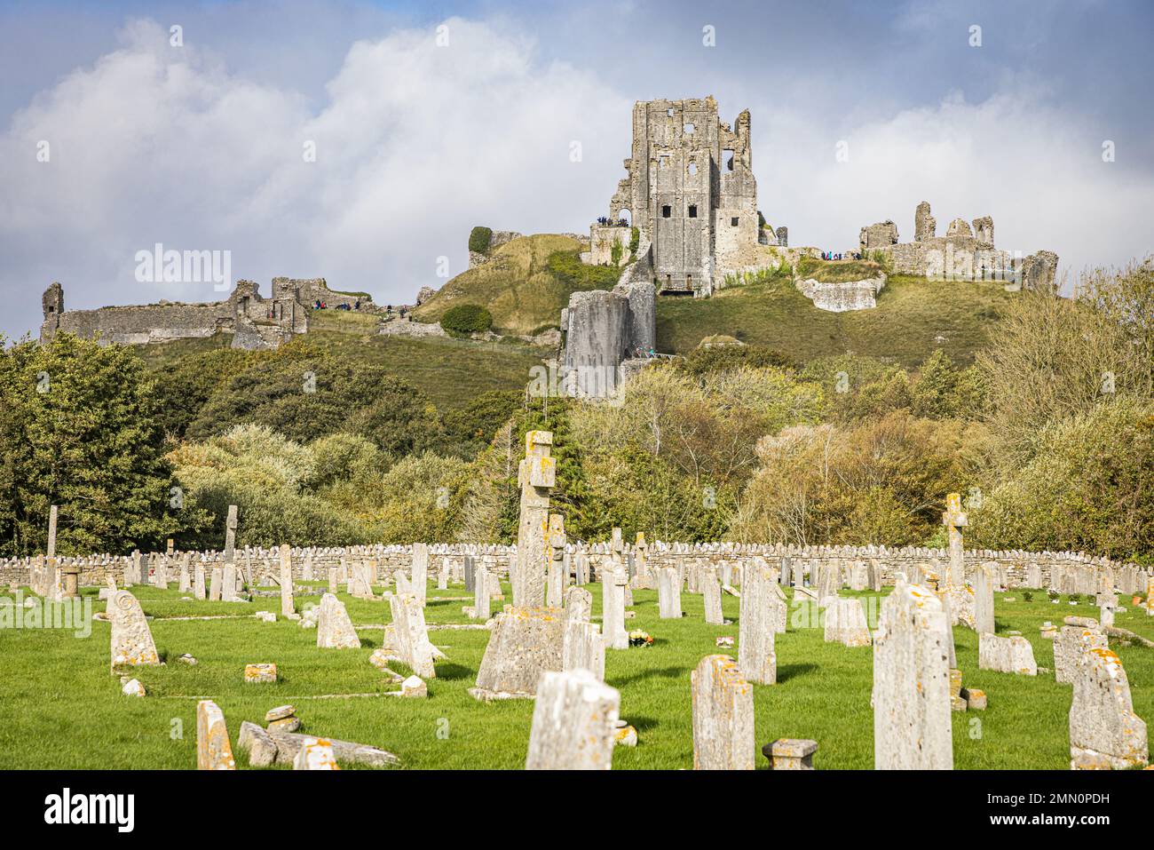 Grave YardGraveyard · 578 yd
 Castle Hyde (in Ruins)Castle, tower house · 651 yd
 Cregg Castle (in Ruins)Castle, tower house · 1275 yd
 Coolmucy WoodWood · 1.8 mi
 Graveyard in FermoyGraveyard · 1.9 mi
 Tourist InformationVisitor information · 1.9 mi
 Kent BridgeMemorial · 2.0 mi
 Corrin WoodsWood · 2.4 mi
 Cappagh XViewpoint · 2.8 mi