What is recorded here
Located on a slight S-facing slope. The cropmark of a small enclosure (diam. c. 15m) defined by a single fosse feature is visible on OSI aerial images (1995). The ring-ditches (ME032-043001-; ME032-063002-) are c. 150m and c. 160m distant to the NNW respectively, and ring-ditch (ME032-063003-) is c. 225m to the NW. It was first identified by Stephen Kehoe.
Date of upload: 25 January 2018
The monument record does not grant public access. Check the route and ask the landowner before entering private land.
- What survives
- Recorded monument
Places near here
 Enclosure in BurtonstownEnclosure · 306 yd
 European BeechEuropean Beech · 684 yd
 Enclosure in FlemingstownEnclosure · 722 yd
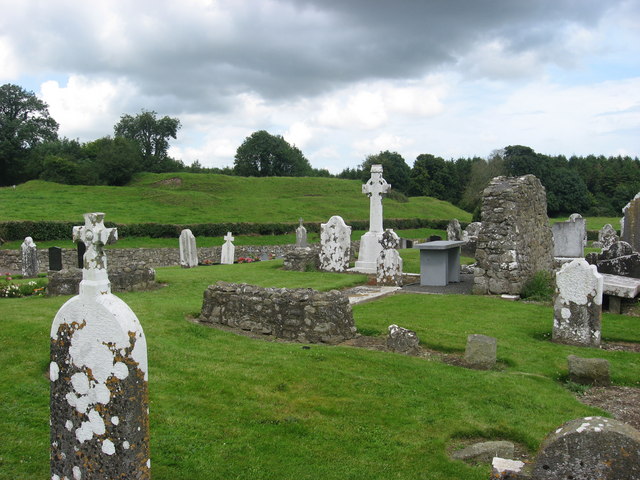 RuinChurch · 1198 yd
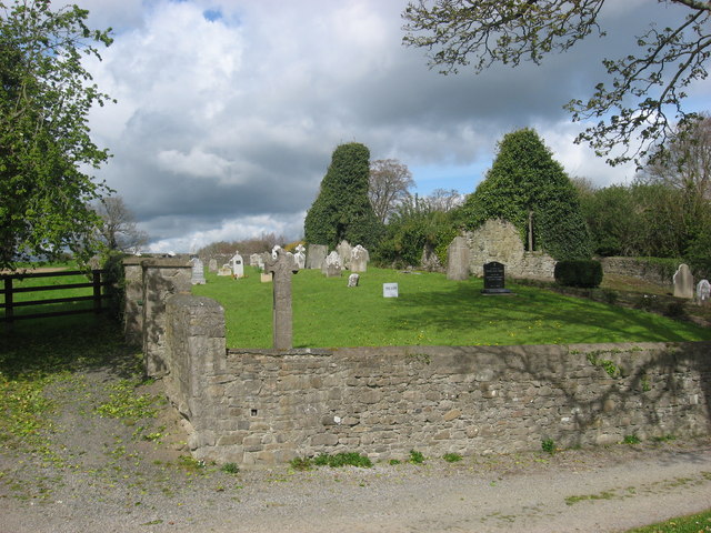 IndicatedChurch · 1256 yd
 European ashEuropean ash · 1741 yd
 Athcarne CastleCastle, tower house · 2.7 mi
 Site of Old CastleCastle, unclassified · 2.8 mi
 Candle HillMountain / peak · 3.0 mi
 PuddenhillHeritage attraction · 4.0 mi
 Boyne Currach CentreHeritage attraction · 4.9 mi
 Carn HillMountain / peak · 5.1 mi