What is recorded here
Identified as the cropmark of a fosse of a circular ring-ditch (diam. c. 15m) on an aerial photograph (CUCAP AVL079, 15 July 1968). There is another larger possible enclosure (KK024-060001-) immediately to the SSW.
See attached:
KK024-060002-_01 aerial photograph (CUCAP AVL079, 15 July 1968)
Compiled by: Jean Farrelly
Date of upload: 29 September 2021
The monument record does not grant public access. Check the route and ask the landowner before entering private land.
- What survives
- Recorded monument
Places near here
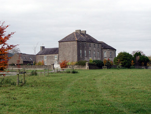 Blackwell Lodgecountry house · 1180 yd
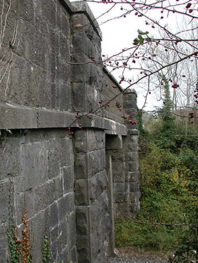 bridgebridge · 1509 yd
 O'Gorman's Lane LoopWalking route · 1610 yd
 Enclosure in Baronsland (gowran By., Woolengrange Ed)Enclosure · 1740 yd
 Kilbline GraveyardArchaeological place · 1740 yd
 Bishopslough Hunt CovertForest · 1.0 mi
 Kilbline CastleCastle, tower house · 1.0 mi
 Time CapsuleMemorial · 1.1 mi
 Grave YardGraveyard · 1.1 mi
 The CommonsForest · 1.2 mi
 Tullaherin Church and Round TowerVisitor information · 1.3 mi
 Ballynaboley Castle (in ruins)Castle, tower house · 1.6 mi