What is recorded here
Archaeological test trenching was carried out by Muireann Ní Cheallacháin of IAC Archaeology under licence 21E0133 which followed on from a geophysical survey conducted in December 2020 by John Nicholls of Target Geophysics under licence 20R0236. The results of this test trenching within Area 2a were summarised as follows; 'Trenches 56 and 57 identified the ditches of a c. 15m diameter bi-vallate ring ditch that align with the targeted geophysical anomalies. The outer ditch C56.1 is 0.85m wide and 0.26m deep and contains an upper mid brown sandy silt and a basal mid greyish brown sandy silt. The inner ditch C56.3 was 0.26m-0.44m wide and 0.08m-0.16m deep contains a mid to dark brown gravelly sandy silt with an upper dark grey black sandy silt with occasional to moderate charcoal recorded in the northern arm of the inner ditch. No burnt bone was identified in the investigative slots. Multiple parallel northwest–southeast aligned agricultural linear features were recorded across the two trenches truncating the upper fills of the ring-ditch' (Ní Cheallacháin 2021, 19).
Compiled by: Caimin O'Brien based on details provided by Muireann Ní Cheallacháin
Date of upload: 28 May 2021
The monument record does not grant public access. Check the route and ask the landowner before entering private land.
- What survives
- Recorded monument
Places near here
 Blessington DemesneWood · 237 yd
 IndicatedEnclosure · 569 yd
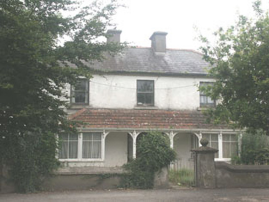 Quidarahouse · 836 yd
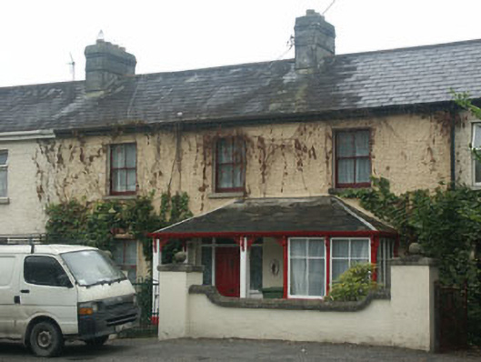 Mountain View Househouse · 839 yd
 The Square RenewalMemorial · 891 yd
 Dame Ninette de ValoisMemorial · 935 yd
 Deer Park PlantationForest · 950 yd
 Holyvalley WellHoly well · 1214 yd
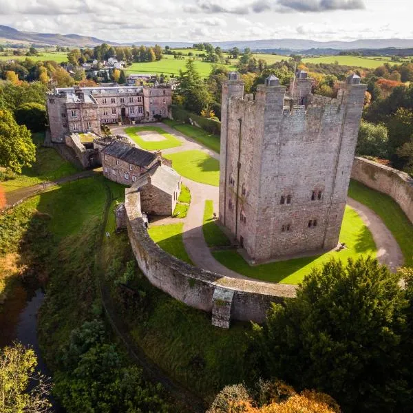 CastleCastle, ringwork · 1.5 mi
 Castle (in ruins)Castle, tower house · 1.7 mi
 Artisans WorkshopsHeritage attraction · 2.8 mi
 National Bird of Prey CentreHeritage attraction · 2.9 mi