What is recorded here
Ten metres across with a one metre western gap, the ditch marked a small dwelling that predated the nearby moated site. People likely lived inside the circle, dug pits for storage or waste, and moved through the western opening before another community cut through the older earth. The hotel development exposed the buried shape, proving that Baunogephlure layered human claims rather than remaining empty.
Discovered alongside a moated site (CW008-064----) and a ringfort (CW008-066----), during test excavation in advance of a hotel development (Excavation Licence No. 05E0452). Excavation of the ring-ditch revealed a circular ditch (Wth 1.5-2m; diam. 10.5m) with an entrance (Wth 1m) on the W side and a number of pits in the interior. The ditch was cut by the ditch of the moated site (CW008-064----). (Stafford 2008, 20)
Reference:
Stafford, E. 2008 Baunogephlure Multi-period. In I. Bennett (ed.), Excavations 2005: summary accounts of archaeological excavations in Ireland, 20 (67). Bray. Wordwell.
Compiled by: Claire Breen
Date of upload: 11 January 2012
The monument record does not grant public access. Check the route and ask the landowner before entering private land.
- What survives
- Recorded monument
Places near here
 Site of CastleCastle, unclassified · 163 yd
 Catholic Church of Saint John the Baptistchurch/chapel · 617 yd
 Church (in Ruins), GraveyardChurch · 1132 yd
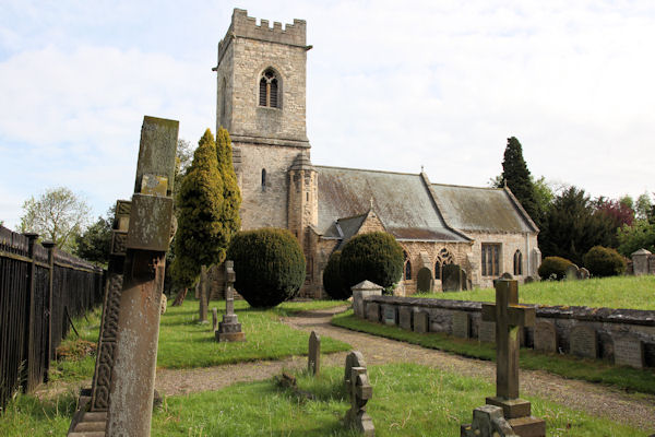 St. John the Baptists Preceptory (in Ruins)Religious house, Knights Hospitallers · 1148 yd
 Enclosure in KillerrigEnclosure · 1192 yd
 Friarstown Castle (in ruins)Castle, tower house · 1477 yd
 Ecclesiastical enclosure in FriarstownEcclesiastical enclosure · 1622 yd
 Duckett's GroveHeritage attraction · 1.7 mi
 Cork oakCork oak · 2.4 mi
 Church (in ruins), Cross, GraveyardChurch · 2.4 mi
 European YewEuropean Yew · 2.7 mi
 Brownshill Portal TombVisitor information · 3.5 mi