What is recorded here
Situated on the crest of a slight N-S ridge. The cropmark of a circular enclosure (ext. diam. c. 20m) defined by a single ditch feature (Wth c. 3m) is visible on aerial photographs (MM (48) 2-4).
Compiled by: Michael Moore
Date of upload: 22 July, 2013
The monument record does not grant public access. Check the route and ask the landowner before entering private land.
- What survives
- Recorded monument
Places near here
 Enclosure in BallyvarogeEnclosure · 763 yd
 Not indicaedEnclosure · 775 yd
 New Bridgebridge · 829 yd
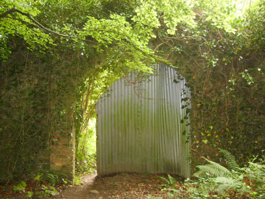 Tintern Abbeywalled garden · 1388 yd
 1798Memorial · 1461 yd
 Site of CastleCastle, unclassified · 1.0 mi
 Saltmills Explosion MemorialMemorial · 1.7 mi
 Grange BeachBeach / strand · 2.8 mi
 CastleCastle, motte · 3.0 mi
 AshgroveVisitor information · 3.3 mi
 Common WhitebeamCommon Whitebeam · 3.4 mi
 DuncannonBeach / strand · 3.5 mi