
What is recorded here
The ring-ditch is located in an area of tillage that falls S to the Bray River with views of the coastline and the Sugarloaf Mountain. The ring-ditch (diam c. 15m) is visible as a cropmark on an aerial photograph taken in 1970 (CUCAP, BDP 23). It is not visible at ground level.
Compiled by: Geraldine Stout and Padraig Clancy.
Revised upload on: 21 April 2018.
The monument record does not grant public access. Check the route and ask the landowner before entering private land.
- What survives
- Recorded monument
Places near here
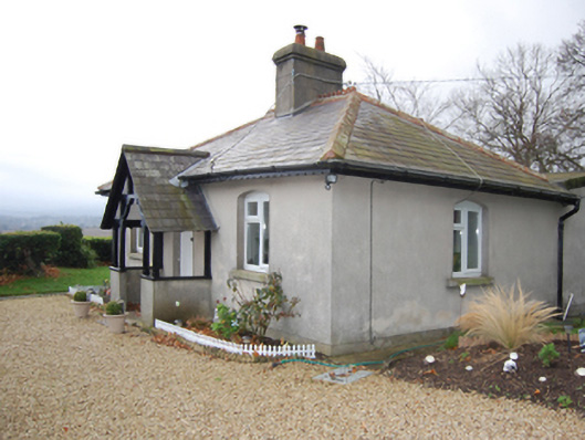 Knocklinngate lodge · 275 yd
 Enclosure in BallymanEnclosure · 451 yd
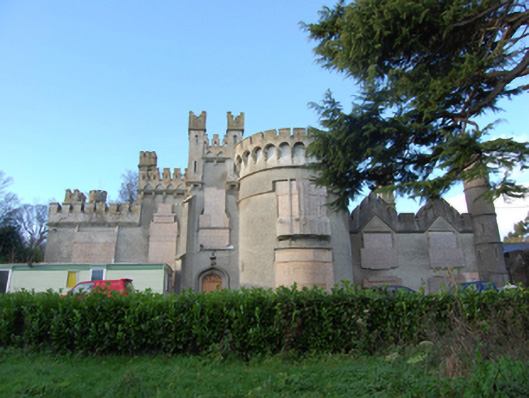 Jubilee Hallcountry house · 500 yd
 Fulacht fia in BallymanFulacht fia · 629 yd
 Graveyard in BallymanGraveyard · 661 yd
 CastleCastle, tower house · 755 yd
 IndicatedCastle, tower house · 1462 yd
 Carrickgollogan HillMountain / peak · 1.0 mi
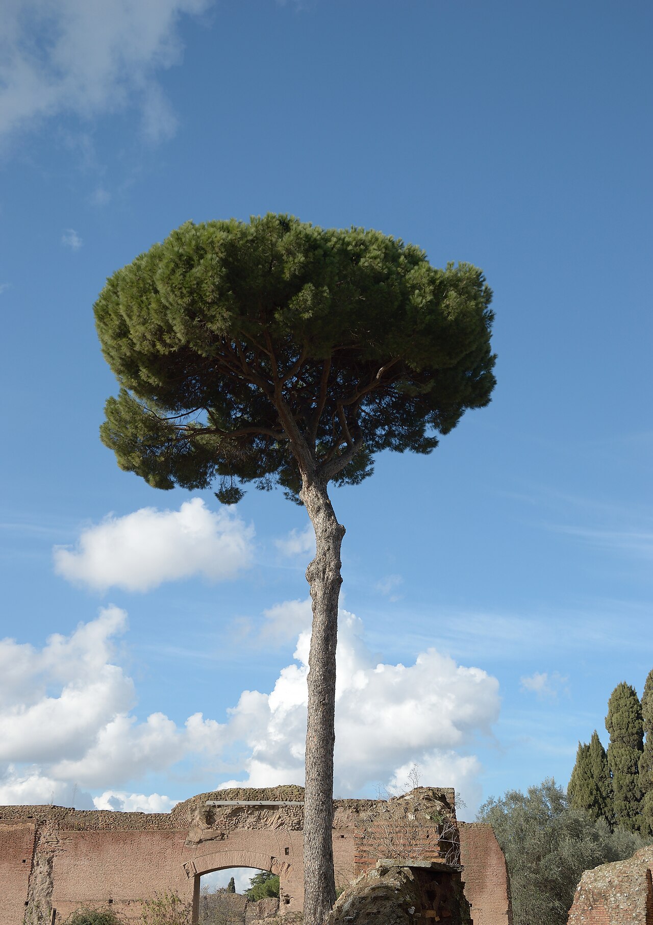 Stone PineStone Pine · 1.2 mi
 European YewEuropean Yew · 1.3 mi
 Christopher ThompsonMemorial · 1.3 mi
 Lover's LeapNamed rock · 1.5 mi
Other information
Photo: Credit not shown in the picture search · Rights wording not checked; contact us if this picture should be removed