What is recorded here
Situated on a fairly level landscape at the top of clay cliffs (H c. 10m) down to the sea-shore, which is just to the NE. Archaeological monitoring (06E0909) identified at least five ring-ditches, but no details are available (McLoughlin 2009).
Compiled by: Michael Moore
Date of upload: 2 January, 2014
The monument record does not grant public access. Check the route and ask the landowner before entering private land.
- What survives
- Recorded monument
Places near here
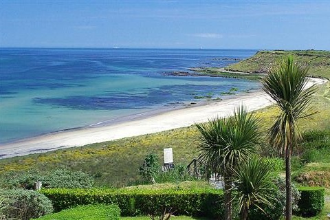 Moran's Bay PostVisitor information · 513 yd
 Rosamarhouse · 593 yd
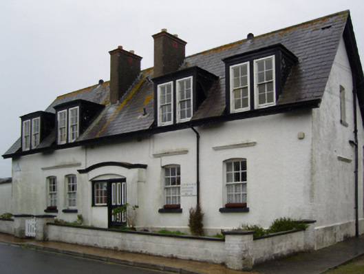 worker's houseworker's house · 811 yd
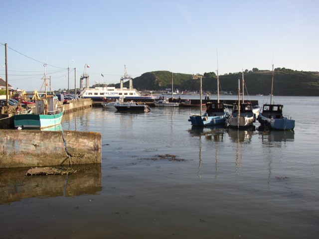 IndicatedBawn · 1294 yd
 Rosslare Harbour Maritime Heritage CentreMuseum · 1617 yd
 Wind Mill StumpWindmill · 1748 yd
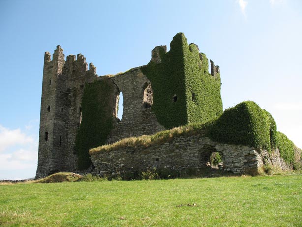 Site of CastleHouse, 17th century · 1.1 mi
 CastleCastle, tower house · 1.7 mi
 The Fairy Stone/RockNamed rock · 1.9 mi
 Shernock Hill/Knocks HillMountain / peak · 2.8 mi
 Birdlife of RosslareVisitor information · 3.0 mi
 Carne BeachBeach / strand · 3.4 mi