What is recorded here
Faintly visible on Google Earth aerial imagery (14-7-2018) in level pasture c. 130m ESE of the meandering, SW-flowing Derreen River: a small circular area (diam. c. 6m) defined by the cropmark of a fosse. This is the northernmost of three, closely associated ring-ditches, orientated on a N-S line; a second (WI047-035----) lies c. 6m to the S and a third (WI-47-036----) lies c. 50m to the S.
See attached image: WI047-034----_01 Snip of Google Earth aerial imagery (14-7-2018).
Compiled by: Gearóid Conroy based on details provided by Jean-Charles Caillère.
Date of upload: 2 August 2023
The monument record does not grant public access. Check the route and ask the landowner before entering private land.
- What survives
- Recorded monument
Places near here
 CastleCastle, motte and bailey · 957 yd
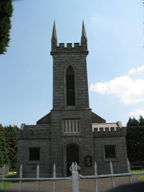 Holy Trinity Church (Ardoyne)church/chapel · 1027 yd
 Ecclesiastical enclosure in ArdoyneEcclesiastical enclosure · 1234 yd
 RatheeraghFairy fort / earthen ringfort · 1520 yd
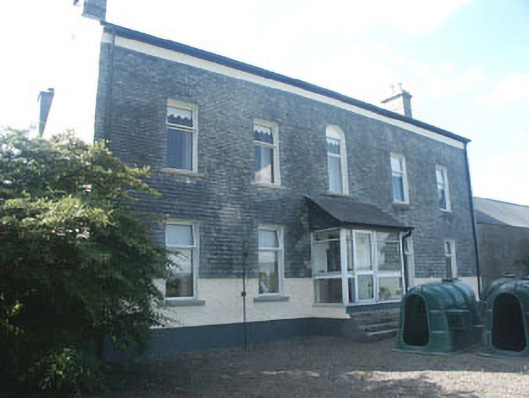 Ardoyne Housefarm house · 1557 yd
 Rath WoodForest · 1.7 mi
 Castlegrace MoatCastle, motte · 2.5 mi
 European ashEuropean ash · 3.0 mi
 Altamont House and GardensHeritage attraction · 3.1 mi
 Altamont Gardens MapVisitor information · 3.2 mi
 Acaun Church (in ruins), GraveyardChurch · 5.0 mi
 Kilmurry Church (in ruins), GraveyardChurch · 5.0 mi