What is recorded here
Situated on a fairly level landscape. The cropmark of a small enclosure (diam. c. 15-20m) defined by a continuous fosse feature is visible on an aerial photograph (CUCAP: BDP 39). It is also visible on the OSI images (1995). The ring-ditch (ME006-021----) is c. 40m to the NW.
Compiled by: Michael Moore
Date of upload: 26 October, 2018
The monument record does not grant public access. Check the route and ask the landowner before entering private land.
- What survives
- Recorded monument
Places near here
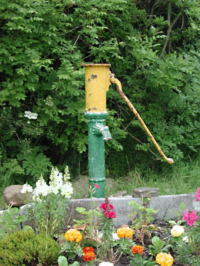 water pumpwater pump · 1302 yd
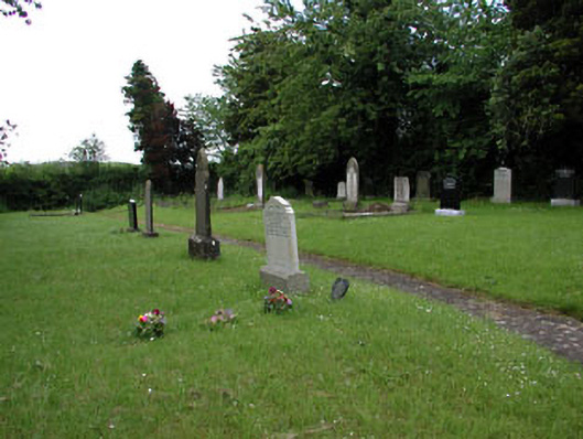 graveyard/cemeterygraveyard/cemetery · 1348 yd
 Yellow HillMountain / peak · 1480 yd
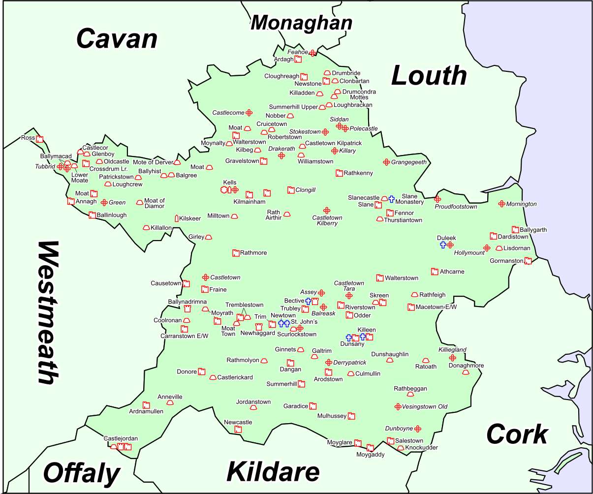 Font in DrumcondraFont · 1631 yd
 MoatCastle, motte and bailey · 1707 yd
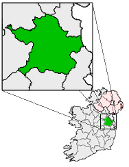 Font (present location) in RathtrasnaFont (present location) · 1.1 mi
 Drumran HillMountain / peak · 1.8 mi
 CastleCastle, motte · 1.9 mi
 Valley WoodWood · 3.4 mi
 European White ElmEuropean White Elm · 3.6 mi
 Sir Frederick Foster MemorialMemorial · 3.9 mi
 Nobber GreenwayMemorial · 5.1 mi