
What is recorded here
Map note: Rhunahaorine Point is recorded near Rhunahaorine, Argyll and Bute, Scotland as a headland. Follow the map with your eyes before trusting any tale of the sea.
From OpenStreetMap (© OpenStreetMap contributors) n6818151625
Places near here
Photo credits
- derek lockhart, Wikimedia Commons · CC BY-SA 2.0
- Maker not stated on source page, www.explore.com
- Gordon Brown, Wikimedia Commons · CC BY-SA 2.0
- Steve Partridge, Wikimedia Commons · CC BY-SA 2.0
- James T M Towill, Wikimedia Commons · CC BY-SA 2.0
- Johnny Durnan, Wikimedia Commons · CC BY-SA 2.0
- John Ferguson, Wikimedia Commons · CC BY-SA 2.0
- Maker not stated on source page, www.dreamstime.com
- Maker not stated on source page, www.pinterest.com
- Maker not stated on source page, www.dailymail.co.uk
- Alasdair MacNeill, Wikimedia Commons · CC BY-SA 2.0
 Sgor CainnteachIslet · 1743 yd
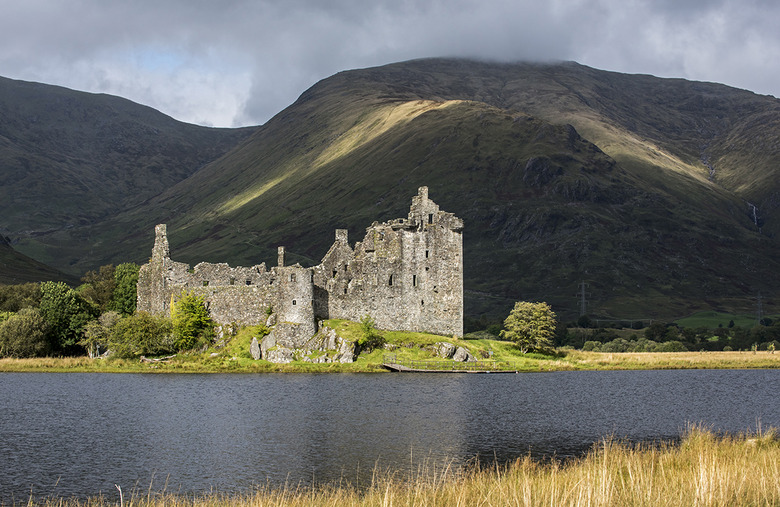 Old Largie CastleCastle (medieval), Farmstead (late 18th Century) - (early 19th Century) · 1.3 mi
Explorer Tom Old Largie Castle is medieval with an 18th-19th century farmstead. Farming and fortifying, what a combo! Grab a photo…
 Sgeir NuadhIslet · 1.5 mi
 DalmoreField Boundary(s), Pit(s), Rig and Furrow (medieval) - (post Medieval) · 1.6 mi
 Ardminish PointHeadland · 1.7 mi
 Tayinloan JettyJetty (post Medieval) · 1.7 mi
 Gigha, Garbh PhortBait Hole(s) (post Medieval) · 1.8 mi
 Tighnadrochit, Old BridgeRoad Bridge (18th Century) · 1.9 mi
 Dumbarton Castle: Ballochroy, Kintyre, AtlanticSchooner (20th Century) · 2.4 mi
 John: Gigalum Island, Sound of GighaSloop (19th Century) · 3.4 mi
 Meall a'GhlamaidhMountain / peak · 3.6 mi
 Grob BaghBay · 4.1 mi
More cliffs, bays and coast in Argyll and Bute · All of Argyll and Bute

What do you know about this place?Tap to add a comment or ask a question