What is recorded here
Cord Burial ground in County Louth holds a broken medieval church in its south-east corner, surrounded by a hundred metres of graves stretching back to 1613. That earliest slab still lies flat on the soil beside the ruins, while hundreds of later stones mark the dead from the 1700s through today. The place has kept burying people long after its church collapsed, turning ancient wreckage into an ordinary neighbour for new grief.
Sub-rectangular shaped graveyard (map dims. L c. 100m; max. Wth c. 66m) with medieval church remains (LH024-030001-) in SE corner. The earliest noted memorial slab has a date of 1613 (LH024-030003-) and was noted lying on the ground immediately to the S of the church remains (ASI field report 1984?). Contains a large number of 18th, 19th and 20th century grave slabs.
Compiled by: Claire Breen
Date of upload: 28 August 2012
The monument record does not grant public access. Check the route and ask the landowner before entering private land.
- What survives
- Recorded monument
Places near here
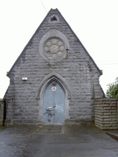 Cord Burial Groundchurch/chapel · 27 yd
 Cord Burial ground, chapel (in ruins)Church · 54 yd
 plaqueplaque · 109 yd
 Old Drogheda GaolArchaeological place · 529 yd
 Magdalene TowerCastle · 763 yd
 The ThoselMemorial · 815 yd
 Siege of Droghedasiege · 863 yd
 St. Peter's ChurchMemorial · 912 yd
 Millmount MuseumMuseum · 1008 yd
 Site of Old CastleCastle, unclassified · 2.0 mi
 Beaulieu House and GardensHeritage attraction · 2.0 mi
 Yellow IslandIslet · 2.5 mi