What is recorded here
No. Of rings. Five metres wide. Two deep. U shaped or V shaped. Beech trees likely. Grazing kept out. Design yes. Memory no. House removed. Ring remains. Aerial photo still shows it. Ground hides it. People walk across it. Forgetting is the point. Design needs witness. Witness left. Ring continues. Measure the hole. Judge the years.
Described by Paddy Healy in a report by An Foras Forbartha for Dublin County Council in 1983 as a possible ringfort. This was since assessed and considered to be a tree ring.
The monument record does not grant public access. Check the route and ask the landowner before entering private land.
- What survives
- Recorded monument
Places near here
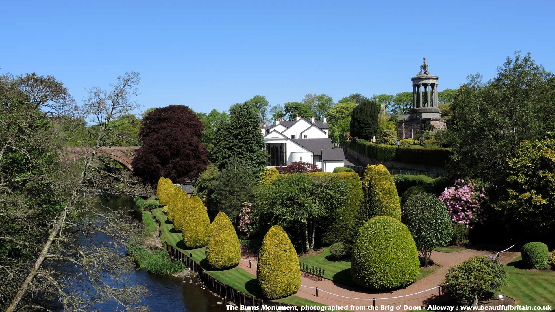 Burnt mound in KilgobbinBurnt mound · 310 yd
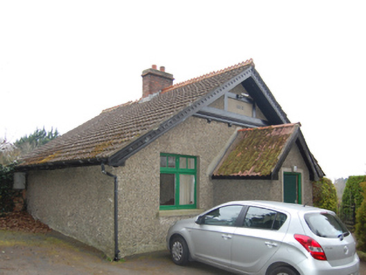 Fern Hillgate lodge · 454 yd
 Pit-burial in KilgobbinPit-burial · 532 yd
 Woodside Ho.House, 16th/17th century · 540 yd
 Murphystown Castle (in ruins)Castle, tower house · 1029 yd
 Fitzsimon's WoodNature reserve · 1071 yd
 Flat cemetery in CarmanhallFlat cemetery · 1227 yd
 Explorium: National Sport and Science CentreMuseum · 1275 yd
 Silver BirchSilver Birch · 1570 yd
 Three Rock MountainMountain / peak · 1.2 mi
 European long distance path E8 - part IrelandWalking route · 1.3 mi
 Telshaun HillMountain / peak · 1.5 mi