What is recorded here
Sixteen windmills are shown at Townparks in St. John’s parish on a 1772 map by Valency that is probably based on a lost Down Survey map (Hore 1900-11, vol. 5, 62). Two windmill stumps are depicted at a small green on the 1839 ed. of the OS 6-inch map. This one is at the crest of a N-facing slope at the SW corner of a small green. A masonry pillar (diam. c. 1m; H c. 3m) is at the location with a limestone plaque (dims 0.36m x 0.31m) on the W side which reads ‘Corporation boundary site of south…… old windmill’. Windmill (WX037-062----) is c. 50m to the NE.
Compiled by: Michael Moore
Date of upload: 18 December, 2012
The monument record does not grant public access. Check the route and ask the landowner before entering private land.
- What survives
- Recorded monument
Places near here
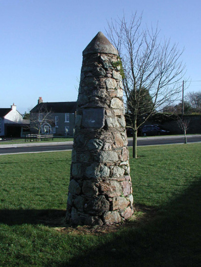 unknownunknown · 1 yd
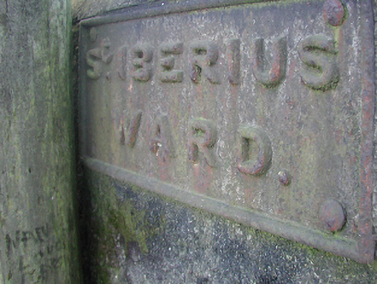 street name plaquestreet name plaque · 9 yd
 Windmill StumpsWindmill · 58 yd
 St. Margarets WellHoly well · 472 yd
 Falla SeilscearMemorial · 709 yd
 Robert BrennanMemorial · 750 yd
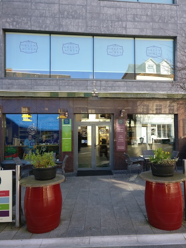 Green Acres Art GalleryGallery · 831 yd
 The Collins-Grant GalleryGallery · 872 yd
 Siege of Wexfordsiege · 1357 yd
 Sack of Wexfordsiege · 1359 yd
 Castle (in ruinis)Castle, tower house · 1.7 mi
 Dawn RedwoodDawn Redwood · 1.8 mi