What is recorded here
In gently undulating pastureland; formerly demesne land. Marked on the 1838 edition of the OS 6-inch map and the OS 1:2500 plan (surveyed 1912-16) as an enclosed roughly circular area (diam. c. 30m) planted with trees. The trees have been cleared and apart from a hollow, no visible surface trace survives. Another similar feature (GA059-065----) was marked on the maps c. 100m to the SW.
Compiled by: Olive Alcock
Date of upload: 2 August 2016
The monument record does not grant public access. Check the route and ask the landowner before entering private land.
- What survives
- Recorded monument
Places near here
 IndicatedEnclosure · 178 yd
 Enclosure in Mullaghmore SouthEnclosure · 1.6 mi
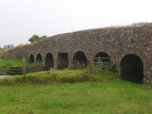 Abbert Bridgebridge · 1.6 mi
 CastleCastle, unclassified · 1.6 mi
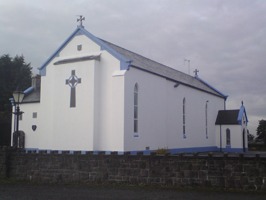 Saint Mary's Catholic Churchchurch/chapel · 1.6 mi
 Garbally Castle (in ruins)Castle, tower house · 2.2 mi
 Menlough IRAMemorial · 2.7 mi
 HawthornHawthorn · 3.1 mi
 SycamoreSycamore · 3.3 mi
 Knockmoy AbbeyHeritage attraction · 4.6 mi
 Kilconnell AbbeyHeritage attraction · 12 mi
 J. Costellohouse · 1.7 mi