What is recorded here
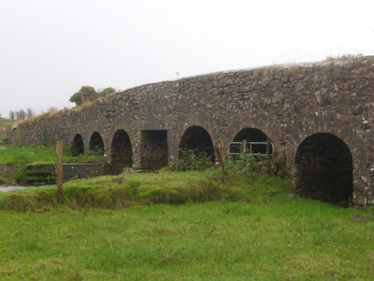
Abbert Bridge in Abbert Demesne has six round arches and one square-headed replacement in the middle. It’s the family photograph where everyone’s smiling except the brother who’s just been told he’s paying for dinner.
Seven-arch road bridge, built c.1800, over Killaclogher River. Round arches with dressed limestone voussoirs to arch rings, random rubble limestone to spandrels. Central arch rebuilt and has square-headed concrete span. Triangular cutwaters to south elevation with pyramidal coping and ashlar plinth. Random rubble limestone parapets with lime render over rubble coping, parapet steps down to flanking random rubble walls to adjoining fields.
This long limestone bridge is attractively symmetrical with round arches. The rebuilding of the middle arch in concrete is not unusual and may have been the result of damage in the Civil War of the 1919-21. The structure, though simply built and detailed, is evidence of local craftsmanship and materials.
From the Buildings of Ireland (National Inventory of Architectural Heritage) record 30405819
This does not grant access. Most recorded buildings are privately owned; view them only from public ground unless the owner allows entry.
Places near here
Photo credits
- National Inventory of Architectural Heritage
- Mike Searle, Wikimedia Commons · CC BY-SA 2.0
- liam murphy, Geograph · CC BY-SA 2.0
- Mikeconneely, Wikimedia Commons · CC BY-SA 4.0
- Didier Descouens, Wikimedia Commons · CC BY-SA 4.0
- Christian Pirkl, Wikimedia Commons · CC BY-SA 3.0 at
- ClintMalpaso, Wikimedia Commons · CC BY-SA 3.0
- DeeEmm, Geograph · CC BY-SA 2.0
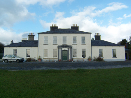 Newtown HouseCountry house · 1.7 mi
 Newtown HouseBridge · 1.7 mi
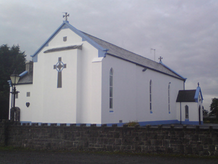 Saint Mary's Catholic ChurchChurch/chapel · 1.8 mi
_-_geograph.org.uk_-_4069015.jpg/250px-Castles_of_Connacht,_Cashlaundarragh,_Galway_(1)_-_geograph.org.uk_-_4069015.jpg "Photo: Mike Searle, Wikimedia Commons · CC BY-SA 2.0") CashlaundarraghCastle · 3.1 mi
CashlaundarraghCastle · 3.1 mi Knockmoy AbbeyHeritage attraction · 3.1 mi
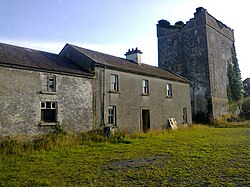 Monivea CastleCastle · 4.0 miMenlough iraMemorial · 4.0 mi
 Hawthorn4.3 mi
 Sycamore4.8 mi
 St. Marys CathedralCathedral · 9.5 mi
 Part of St. Jarlaths CrossCross, High cross · 9.5 mi
 Silver StrandBeach / strand · 23 mi
More historic places in County Galway · All of County Galway
What do you know about this place?