
What is recorded here
Mullins Fort is a sub-circular earthen ring in County Louth, Ireland, with a wide entrance causeway at the northeast and a recut ditch outside. Local tradition calls it a fairy fort, suggesting the boundary between human and hidden life remains thin there. Its preserved shape and unusual entrance invite wonder about who built it, when, and what they believed about the land.
The following description is derived from both the published 'Archaeological Inventory of County Louth' (Dublin: Stationery Office, 1986) and the 'Archaeological Survey of County Louth' (Dublin: Stationery Office, 1991). In certain instances the entries have been revised and updated in the light of recent research.
Date of upload/revision: 17 July 2007
Sub-circular area (int. dims. 36.5m by 32.5m) enclosed by earthen bank (Wth 5m, H 0.7m internally, c. 1.2-1.9m externally) with external fosse which appears to have been recut and has modern drainage banks outside on the SW. Ancient entrance gap (Wth 3.5m) and causeway (Wth 7m, H 0.6m) at NE.
The monument record does not grant public access. Check the route and ask the landowner before entering private land.
- What survives
- Recorded monument
Places near here
 Mullins FortArchaeological place · 21 yd
 Enclosure in WhiteriverEnclosure · 471 yd
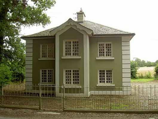 Ashvillegate lodge · 1.3 mi
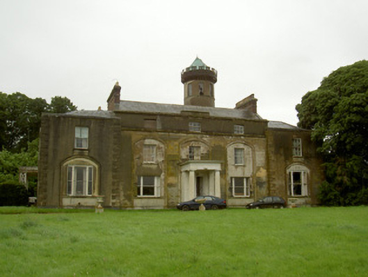 Rathescarcountry house · 1.3 mi
 Black HillMountain / peak · 1.7 mi
 Rathescar Lakeside WalkWood · 1.7 mi
 Not idicatatedCastle, unclassified · 1.8 mi
 CastleCastle, unclassified · 1.8 mi
 Mount OrielMountain / peak · 2.0 mi
 Pedunculate OakPedunculate Oak · 2.9 mi
 Irish Military Museum And ParkMuseum · 2.9 mi
 Monasterboice Round TowerHeritage attraction · 3.0 mi
Other information
Photo: Credit not shown in the picture search · Rights wording not checked; contact us if this picture should be removed