What is recorded here
Doonooney Castle was a substantial earthen fortification holding half a knight's fee for Adam de la Roche under the Bigod family in 1307, positioning it as a significant local power centre near a nearby church. John O'Donovan measured its flat-topped motte at four metres high and thirty-four metres across in 1840, but bulldozers erased that vertical presence during the 1950s or 60s. The site now hides inside an ordinary grass field, reducing a medieval stronghold to a shallow sixty-metre circle where human ambition and earthly power quietly dissolved back into the Wexford soil.
Doonooney Castle is recorded as a ruins in County Wexford. Its open map record supplies this location and any linked names or public references.
Places near here
 (Site of) Doonoonen CastleCastle, motte · 16 yd
 Church (in ruins)Church · 151 yd
 IndicatedFairy fort / earthen ringfort · 1081 yd
 farm housefarm house · 1691 yd
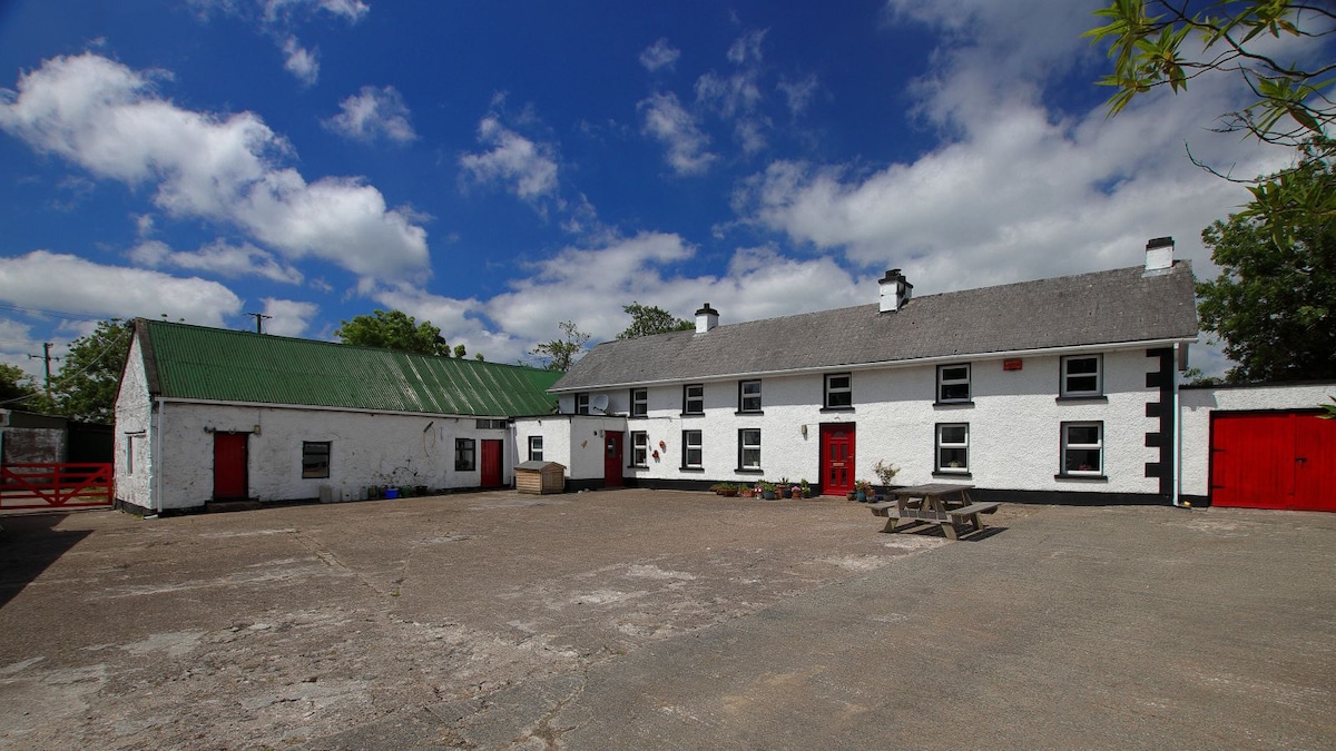 Embanked enclosureFairy fort / earthen ringfort · 1.0 mi
 Camaross HillMountain / peak · 1.3 mi
 Castle (in ruins)Castle, tower house · 1.7 mi
 Glenour MonumentMemorial · 1.7 mi
 Raheennahoon HillMountain / peak · 1.7 mi
 Dick Joynt MemorialMemorial · 4.2 mi
 King's IslandIsland · 5.5 mi
 Coolcliffe HouseRuins · 7.3 mi