
What is recorded here
Carn Castle vanished from Carnpark, leaving no stone behind, though it stood for centuries beside a holy well and within a protective wall. Awly McGawley held the land in 1641, and the site survived long enough to appear on an 1837 map before disappearing entirely. The empty pasture now holds more than loss; it preserves the shape of a place that resisted forgetting for generations.
Carn Castle is recorded as a castle in County Westmeath. Its open map record supplies this location and any linked names or public references.
Carn Castle was built in the 15th century by the MacDermotts of Moylurg, a prominent Gaelic Irish family in the region. It is remembered as a significant stronghold in west County Westmeath, reflecting the power and territorial influence of the MacDermotts during the late medieval period.
Places near here
 Hut site in Carn (rathconrath By.)Hut site · 827 yd
 Redmondstowndemesne walls/gates/railings · 1037 yd
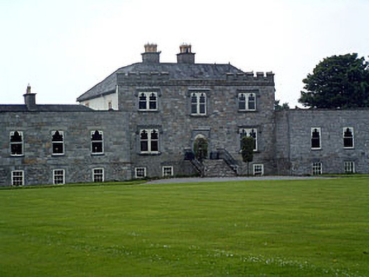 Jamestown Courtcountry house · 1114 yd
 Enclosure in KilleenEnclosure · 1470 yd
 Stremmingstown CastleCastle · 1509 yd
 Adamstown Castle (in Ruins)Castle, tower house · 1.4 mi
 Hill of UisneachMountain / peak · 1.9 mi
 European ashEuropean ash · 2.2 mi
 Sam's ParkForest · 2.4 mi
 KnockastiaMountain / peak · 4.1 mi
 Charles BianconiMemorial · 8.8 mi
 The Bob Traynor GalleryGallery · 8.9 mi
Other information
Photo: Credit not shown in the picture search · Rights wording not checked; contact us if this picture should be removed