What is recorded here
Situated on a gentle N-facing slope. Excavation in 2000 (Licence no. 99E0565) in advance of the construction of the N18-N19 Ballycasey-Dromoland Road Improvement Scheme revealed a 19th-century ornamental well most likely constructed by the owners of the nearby Clonmoney House. consisting of an irregular flight of steps leading down a gently sloping ramp onto a flagstone platform which facilitated easy access to the water. The water was fed by means of a duct. A formally built rockery delimited the structure along its northern flank. (Clinton 2002, 22-4)
Compiled by: Mary Tunney
Date of upload: 25 July 2016
The monument record does not grant public access. Check the route and ask the landowner before entering private land.
- What survives
- Recorded monument
Places near here
 Enclosure in Clonmoney WestEnclosure · 432 yd
 Tobernamackauv (1951-52)Holy well · 555 yd
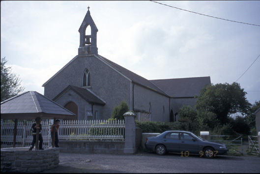 Catholic Church of Our Lady of the Wellschurch/chapel · 596 yd
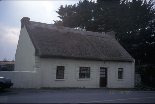 Tigínhouse · 846 yd
 CastleCastle, motte and bailey · 1474 yd
 Sweet ChestnutSweet Chestnut · 1.2 mi
 Drumline Castle (in Ruins) (1951-52)Castle, tower house · 1.4 mi
 Drummin PointHeadland · 1.4 mi
 Bunratty Castle and Folk ParkHeritage attraction · 1.4 mi
 Bunratty Castlehouse · 1.4 mi
 Inishcronan PointHeadland · 1.6 mi
 Pan Am Flight 1-10aviation accident · 2.6 mi